
 |
|
| Rating: 3.8 | Downloads: 5,000,000+ |
| Category: Maps & Navigation | Offer by: Mapping Earth Studio |
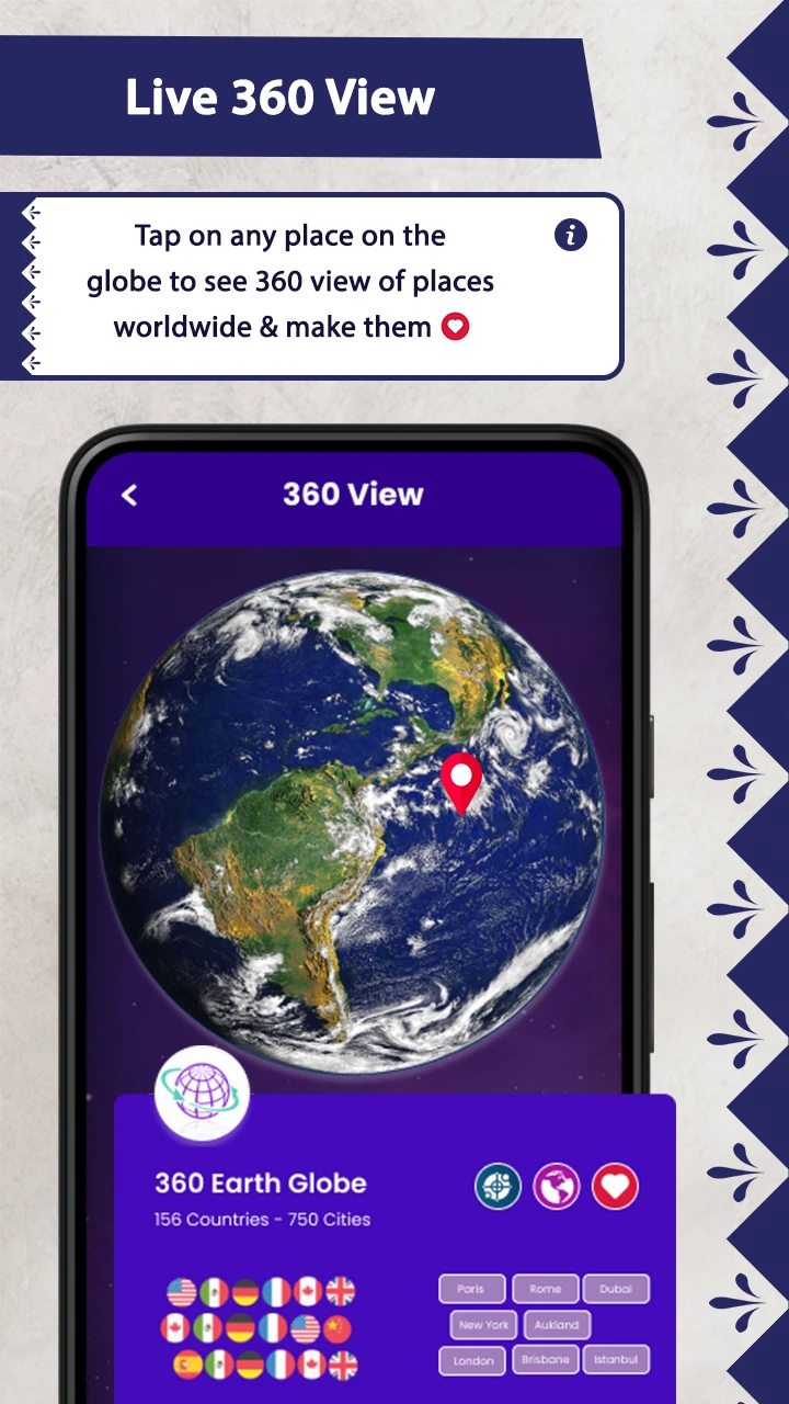
The Earth Map Satellite app is a powerful tool that provides real-time and historical satellite imagery, weather data, and geographical information. It helps users explore our planet from space, monitor natural disasters, track environmental changes, and visualize Earth’s surface features. This digital companion is perfect for researchers, educators, emergency responders, and everyday curious individuals seeking Earth’s visual story.
Earth Map Satellite offers unique value by combining high-resolution imagery with intuitive analysis tools. Its appeal lies in its accessibility and the ability to transform complex Earth observation data into actionable insights. From monitoring crop health to understanding climate change impacts, this app empowers users with visual intelligence about our planet in ways previously unavailable to non-experts.
App Features
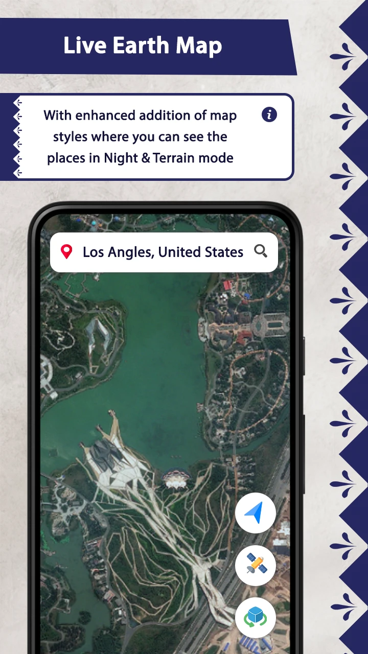
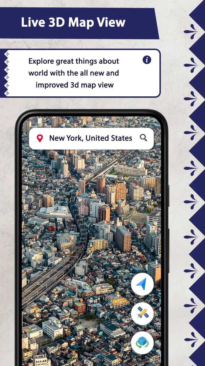
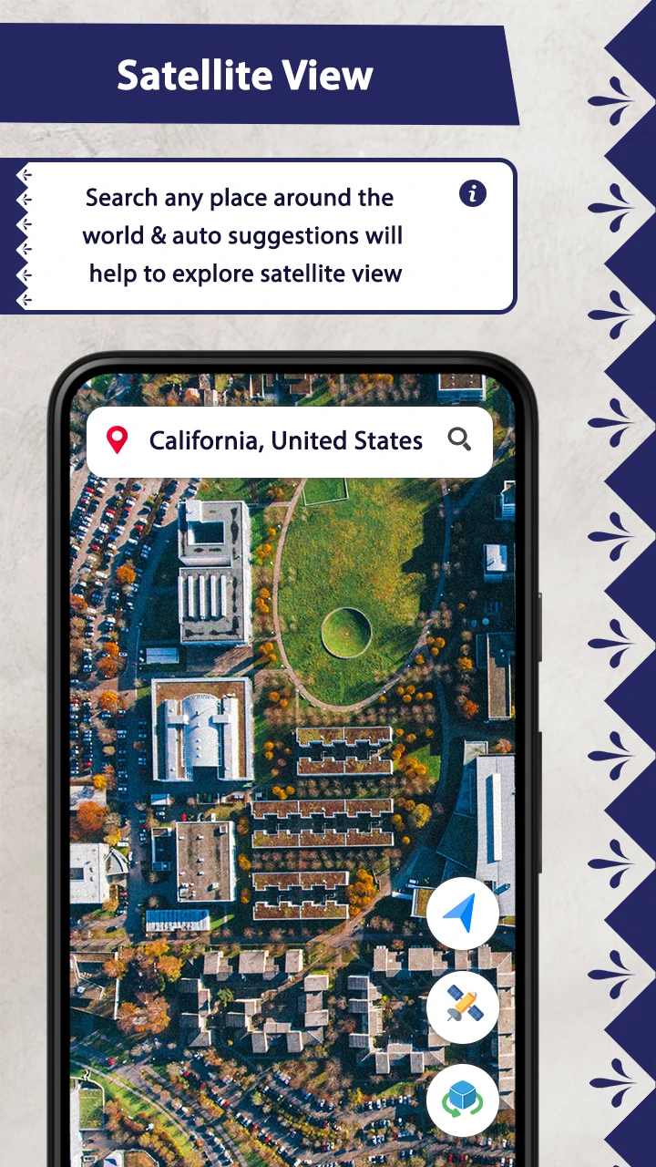
- Real-time Imagery & Historical Archive: Instantly access current satellite views and explore up to 30 years of archived imagery. This allows users to track changes like deforestation or urban development over time, perfect for researchers studying environmental shifts or property owners verifying land use changes.
- Multi-layered Map Interface: Overlay various datasets such as population density, ocean currents, or vegetation indices. This sophisticated feature enhances analysis by providing comprehensive geographical context, enabling scientists to correlate environmental patterns with human activities or climate factors.
- Custom Measurement Tools: Measure distances between locations, calculate areas, and track movement paths across satellite views. These precise tools help educators create engaging geography lessons or enable urban planners to analyze spatial relationships in developments with unprecedented accuracy.
- Alert System & Notifications: Set triggers for specific events like unusual temperature anomalies, flooding in designated areas, or unusual cloud patterns. This proactive feature saves time by immediately alerting users to potentially significant changes they might otherwise miss in routine monitoring.
- Data Export & Analysis Integration: Export high-resolution images and extracted data points to compatible formats. The flexibility to integrate with other software tools makes Earth Map Satellite suitable for professional use alongside specialized GIS applications, streamlining workflows for both beginners and advanced users.
- Advanced Search & Filter System: Search for specific coordinates, satellite sensors, or date ranges with powerful filtering options. For instance, environmental scientists can quickly retrieve all visible images of a particular coastal area acquired by a specific satellite during a particular season, dramatically accelerating research processes.
Pros & Cons
Pros:
- User-friendly Interface
- Extensive Historical Data
- High-resolution Imagery Access
- Powerful Measurement Tools
Cons:
- Occasional Cloud Cover Obstruction
- Learning Curve for Advanced Features
- Occasional Server Lag During Peak Times
- Image Quality Varies by Satellite Sensor
Similar Apps
| App Name | Highlights |
|---|---|
| Google Earth Engine |
A powerful cloud-based platform offering global remote sensing data and analysis tools. Known for massive satellite imagery library and scientific research capabilities. |
| NASA WorldView |
Direct connection to NASA satellite feeds with focus on Earth science applications. Features guided exploration and educational content. |
| GIS Professional Suite |
Advanced Geographic Information System software with comprehensive spatial analysis functions. Includes tools for creating custom maps and performing complex geospatial queries. |
Frequently Asked Questions
Q: How often is new satellite imagery updated?
A: The app integrates imagery from multiple satellites, typically refreshing the database daily. However, specific updates to any given location depend on satellite orbits, weather conditions, and data provider schedules.
Q: Can I use Earth Map Satellite for educational purposes?
A: Absolutely! Teachers can leverage its historical imagery feature to demonstrate environmental changes over decades, students can analyze satellite views for geography projects, and researchers can access reliable data for academic studies without expensive subscriptions.
Q: What should I do if a particular area is frequently obscured by clouds?
A: Our intelligent system will usually suggest alternative cloud-free images from different satellites or capture times. For persistent cloud cover, you can enable our historical archive search to find older clear views or use proxy satellite data from neighboring regions for contextual comparison.
Q: Does the app work offline once I have data downloaded?
A: Yes, after downloading specific maps, satellite images, or data sets, the app functions fully offline. This feature is especially valuable for field researchers, journalists working in remote locations, or anyone needing Earth observation data without reliable internet access.
Q: How does the measurement tool ensure accuracy for large distances?
A: Our distance and area calculation tools use precise satellite geometry models and geodetic measurements. The calculations account for Earth’s curvature and projection systems, providing accuracy within 1-2 meters for distances up to 1000km across most commonly used satellite image formats.
Screenshots
 |
 |
 |
 |
Earth Map Satellite App Download |
|
|---|---|
 |
 |