
 |
|
| Rating: 3.9 | Downloads: 500,000,000+ |
| Category: Travel & Local | Offer by: Google LLC |
Google Earth is an interactive application developed by Google that allows users to explore satellite imagery, maps, terrain, and 3D buildings across the globe. It combines aerial photography, satellite images, and geographical data to create a comprehensive digital representation of our planet. This app serves as a virtual globe for education, research, travel planning, and casual exploration, offering an accessible way to visualize and understand Earth’s geography.
The key value of Google Earth lies in its ability to transform static geographical data into an immersive experience, making complex information like climate change patterns, urban development, or historical site locations easily understandable. Its practical usage ranges from professional cartography and real estate analysis to emergency response planning and environmental conservation projects, proving invaluable for anyone needing spatial awareness or geographic context.
App Features
- Earth Rotation & Navigation: Rotate the globe freely or tilt it to examine specific regions closely. This feature provides an intuitive way to explore distant lands without physical travel, allowing users to quickly identify geographical features, plan travel itineraries, and understand spatial relationships between continents and oceans.
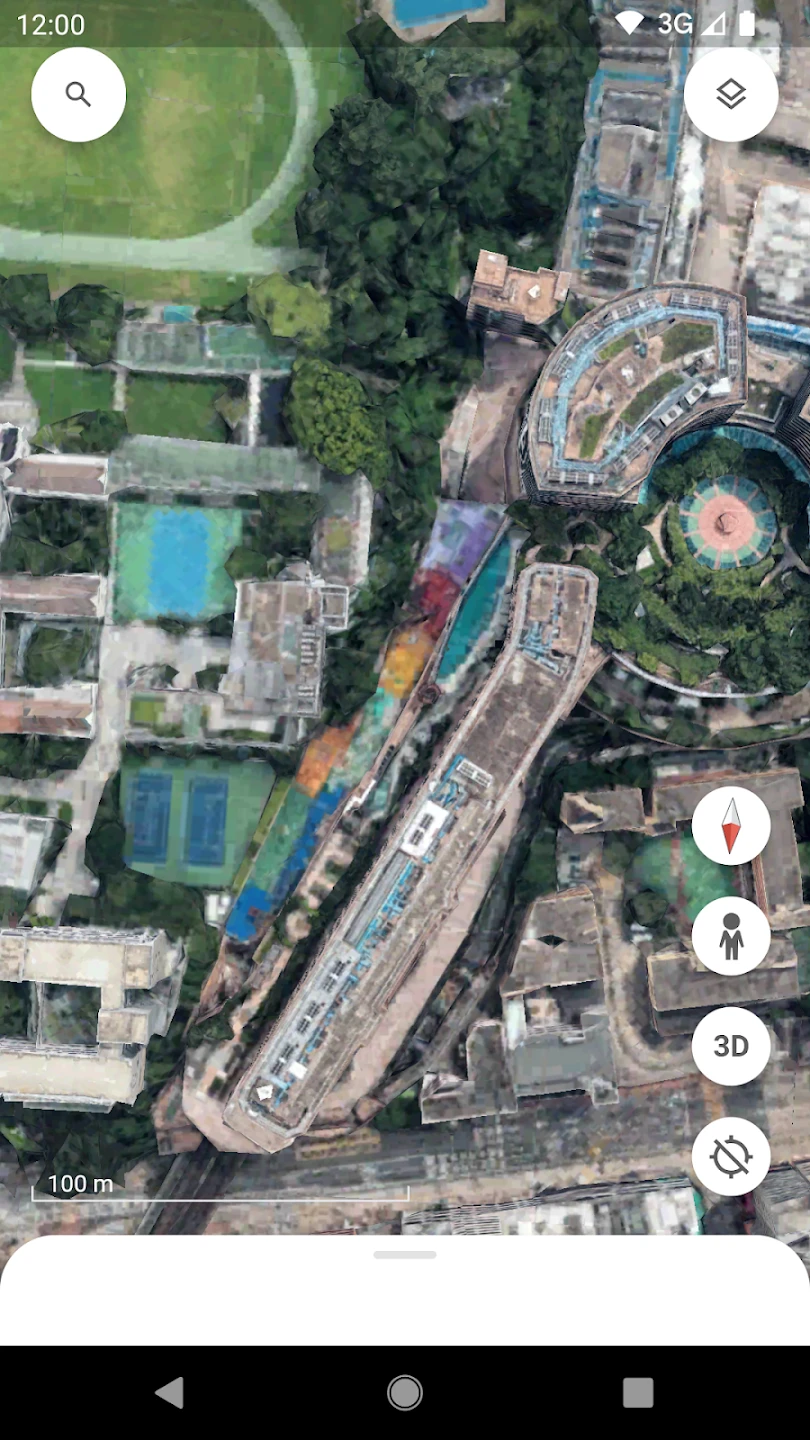
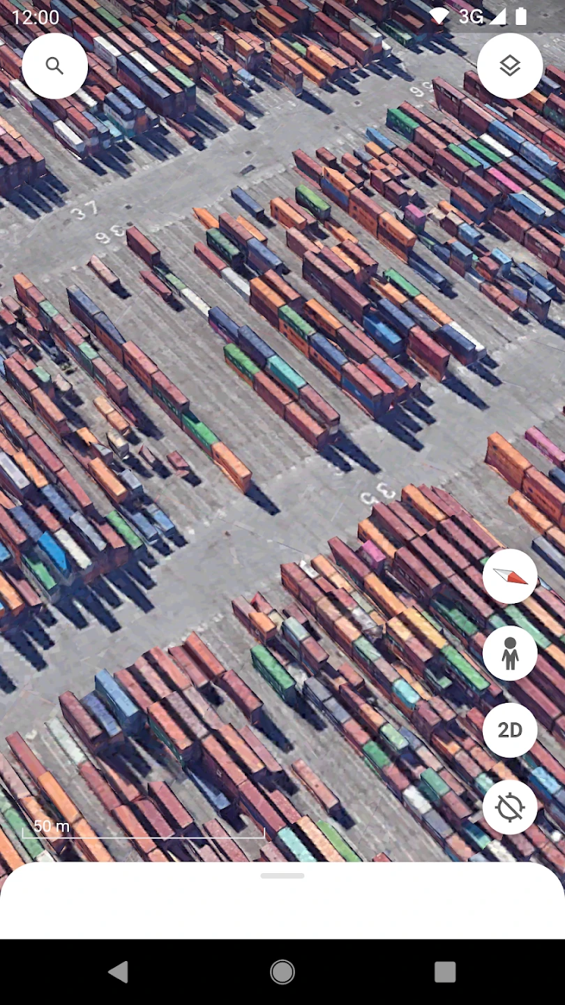
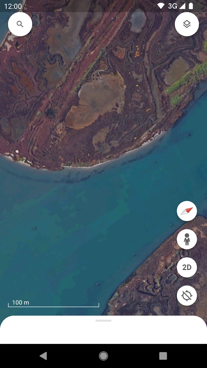
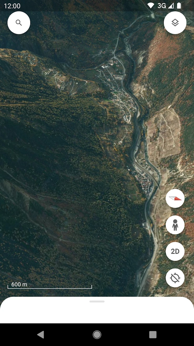
- Satellite Imagery & Street View: Access high-resolution satellite photos and ground-level imagery captured from various vantage points. This combination offers unparalleled context for researchers analyzing habitat changes, urban planners designing new developments, and educators creating interactive geography lessons with accurate, real-time visual data.
- Historical Imagery: Travel back in time to view how landscapes and cities have evolved over decades. This unique capability is particularly useful for historians documenting urban development, environmental scientists tracking deforestation, and archaeologists identifying lost structures before they were obscured by modern construction.
- Measurement Tools: Easily calculate distances between geographic points and measure areas of interest. This practical feature benefits real estate professionals comparing property sizes, engineers planning construction projects, and educators demonstrating geographic scales, all without needing specialized surveying equipment.
- Street View Exploration: Walk through street-level imagery from around the world, experiencing locations virtually. This immersive feature is invaluable for travelers planning itineraries, tourists identifying landmarks before visiting, and accessibility advocates mapping pedestrian pathways with unprecedented spatial awareness.
- 3D Buildings & Terrain View: Examine cities in three dimensions and visualize topographical changes in mountainous regions. These advanced visualization tools help architects assessing building sites, geographers studying watershed dynamics, and urban planners evaluating infrastructure impacts before making decisions that affect real-world development.
Pros & Cons
Pros:
- Unlimited Access to Geographical Data
- Immersive 3D Visualization
- Historical Imagery Time Machine
- Seamless Multiplatform Integration
Cons:
- Data Usage Can Be High
- Limited 3D Models for Smaller Towns
- Occasional Imagery Updates Delays
- Mobile Performance Varies
Similar Apps
| App Name | Highlights |
|---|---|
| Maps – Apple |
Offers comprehensive navigation features, offline maps, and driving directions. Known for seamless device integration and AR walking directions, though satellite quality varies regionally. |
| Bing Maps |
Designed for travel with street-level imagery and local insights. Includes custom imagery layers and business listing details useful for tourists and real estate professionals. |
| HERE WeGo |
Focuses on offline navigation and turn-by-turn directions. Features 3D street view and points-of-interest search by category, ideal for travelers needing GPS guidance without cellular service. |
Frequently Asked Questions
Q: Can I use Google Earth offline once I’ve downloaded the imagery?
A: Yes, you can save map tiles and imagery to view without an internet connection. This is particularly useful for travelers visiting remote locations with limited connectivity.
Q: Is there a cost to using the Google Earth app?
A: The app is completely free to download and use, though premium features like advanced offline maps may require subscriptions through the app store.
Q: What’s the difference between satellite imagery and Street View?
A: Satellite imagery shows the Earth from space, while Street View provides ground-level perspectives captured by vehicles. Both offer unique advantages for exploring different types of environments and terrain features.
Q: Can I mark locations or create custom tours in Google Earth?
A: Absolutely! The app lets you place placemarks, add photos, create custom paths, and even share your virtual experiences with others through My Maps.
Q: How often is the imagery updated in Google Earth?
A: Imagery updates regularly (often monthly), though frequency varies by region. You can enable the historical imagery feature to view how locations changed over time.
Screenshots
 |
 |
 |
 |
Google Earth App Download |
|
|---|---|
 |
 |