
| Rating: 4.1 | Downloads: 10,000,000+ |
| Category: Maps & Navigation | Offer by: JVSTUDIOS |
Introducing GPS+ Maps, Navigation, Traffic – your essential navigation companion for exploring the world with confidence and ease. This powerful app offers turn-by-turn directions, detailed mapping, and real-time traffic updates to help you reach your destinations efficiently. Whether you’re a daily commuter, an adventurous driver, or just need reliable guidance for a local trip, GPS+ Maps is designed specifically for users who value accurate navigation and timely information.
The core appeal of GPS+ Maps, Navigation, Traffic lies in its ability to transform complex driving scenarios into manageable tasks. By integrating detailed maps with live traffic data, it minimizes delays and ensures you’re always taking the fastest route possible. This translates to significant time savings and reduced stress for everyday journeys, making it an indispensable digital tool.
App Features
- Digital Voice Guidance: The app features clear, customizable voice instructions that guide you through turns without needing to constantly look at your screen. This hands-free approach significantly enhances road safety and allows you to focus on driving, particularly useful when navigating busy city streets or unfamiliar highways.
- Real-time Traffic Information: Utilizing data from various sources, GPS+ Maps provides live updates on traffic congestion, accidents, road closures, and construction zones. This intelligence helps the navigation system dynamically reroute you away from delays, ensuring you arrive at your destination faster and more predictably, even during peak commute times.
- Offline Maps: Download map data for specific regions or countries before your trip, enabling you to navigate effectively even with limited or no internet connectivity. This feature is crucial for exploring remote areas, driving through rural regions without cellular coverage, or simply saving mobile data usage during long journeys.
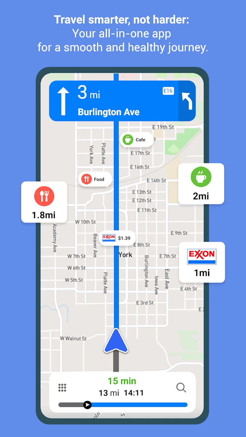
- Points of Interest Search: Easily discover nearby attractions, restaurants, gas stations, parking, or specific types of businesses using the app’s intuitive search and filtering tools. This saves time and effort compared to manual searches, allowing you to quickly pinpoint amenities and points of interest along your route based on preferences and needs.
- Car Park Guidance (Premium Feature): While the core GPS+ experience offers basic navigation, upgrading unlocks advanced features like finding available parking nearby (often integrated with third-party services) and step-by-step guidance to navigate multi-level car parks, simplifying the often frustrating task of finding and parking your vehicle efficiently.
- Route Customization: Create and manage multiple routes for complex trips with multiple stops, allowing you to plan the most efficient itinerary. This includes specifying preferences for avoiding tolls, highways, or mountain roads, giving you greater control over your journey and ensuring the suggested routes perfectly match your requirements.
Pros & Cons
Pros:
- Comprehensive Navigation Features
- Real-time Traffic Avoidance
- Offline Mapping Capability
- Precise Digital Voice Directions
Cons:
- Some Advanced Features Require a Premium Subscription
- Data Usage Can Be High When Downloading Maps/Using Traffic
- Potential for Minor Routing Errors on Less Common Roads
- Rerouting Performance Varies Based on Traffic Data Availability
Similar Apps
| App Name | Highlights |
|---|---|
| Google Maps |
This app is known for its vast database, turn-by-turn navigation, extensive transit options, and integration with Search and Photos. It offers real-time traffic and street view features, often considered the go-to for general use. |
| HERE We Go |
HERE provides detailed maps with street-level imagery, smart routing options considering tolls, traffic, and estimated arrival times (ETA). It’s often praised for accuracy, particularly in urban environments and for its 3D building views. |
| Waze |
Waze excels with community-driven traffic and road hazard reporting. Its focus on avoiding accidents, speed traps, and potholes, combined with real-time driving conditions, makes it ideal for finding the fastest and safest route in heavily trafficked areas. |
Frequently Asked Questions
Q: How accurate is the turn-by-turn guidance in GPS+ Maps?
A: GPS+ Maps provides generally accurate turn-by-turn instructions based on its map data and GPS signal. For the most reliable results, it’s best used in a moving vehicle with a clear view of the sky for optimal GPS reception.
Q: Can I use GPS+ Maps without an internet connection?
A: Absolutely! The core navigation features work entirely offline if you have previously downloaded map data for the relevant area. This is essential for long trips in areas with poor connectivity.
Q: How frequently does GPS+ update its traffic information?
A: Traffic data is refreshed frequently throughout the day, usually integrated with major traffic data providers. This means the app can reroute you based on current congestion rather than predicted traffic patterns.
Q: Are there any costs associated with using GPS+ Maps, Navigation, Traffic?
A: Basic features like standard turn-by-turn navigation are typically available for free. However, premium features such as offline map downloads, advanced routing options, detailed parking guidance, or ad-free browsing might require a subscription or in-app purchase.
Q: Can I plan multi-stop routes with GPS+ Maps?
A: Yes, you can easily create and save routes with multiple destinations (multi-stop routes) within GPS+. The app will calculate the optimal order based on your preferences and provide turn-by-turn directions as you travel, making it perfect for road trips or errands.
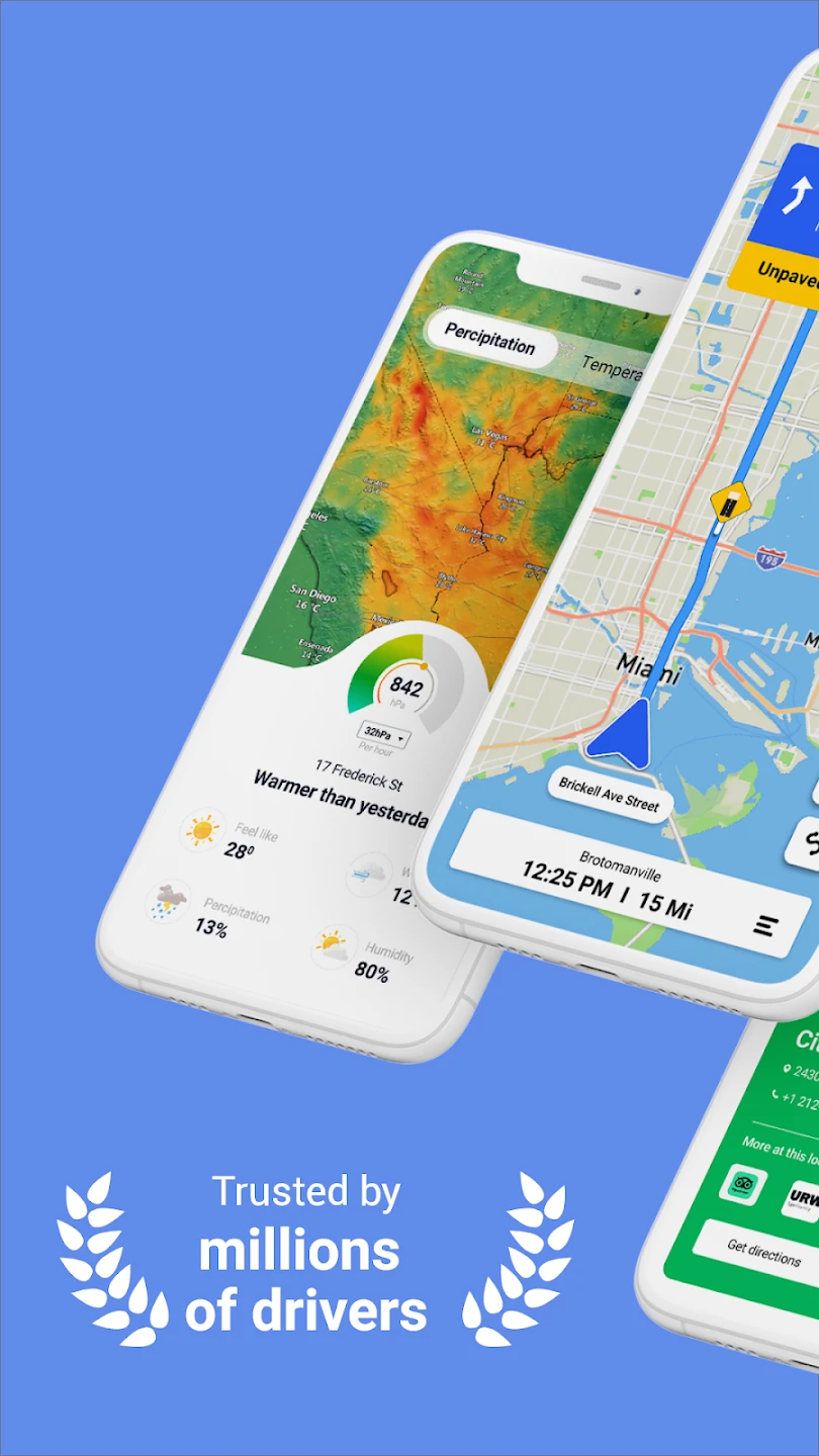
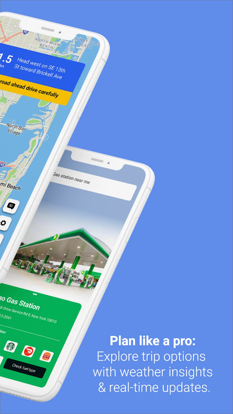
Screenshots
 |
 |
 |
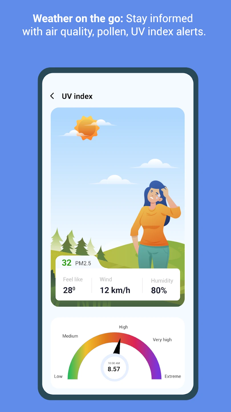 |
GPS+ Maps, Navigation, Traffic App Download |
|
|---|---|
 |
 |
