
 |
|
| Rating: 3.9 | Downloads: 5,000,000+ |
| Category: Maps & Navigation | Offer by: Game Soft Studio 3D |
GPS Navigation- World Map 3D is an advanced mapping application offering 3D visual navigation across the globe. This immersive app combines precise GPS tracking with a three-dimensional world map for easier route planning and exploration. Ideal for travelers and everyday commuters, it transforms traditional navigation into an interactive experience by visualizing terrain, landmarks, and directions in stunning 3D.
The key appeal of GPS Navigation- World Map 3D lies in its ability to simplify complex routes through intuitive 3D visualization, making navigation more accessible worldwide. Its practical usage extends beyond driving to hiking, urban exploration, or emergency location tracking. This app provides contextual awareness and spatial understanding that traditional 2D maps often lack, enhancing situational clarity in unfamiliar environments.
App Features
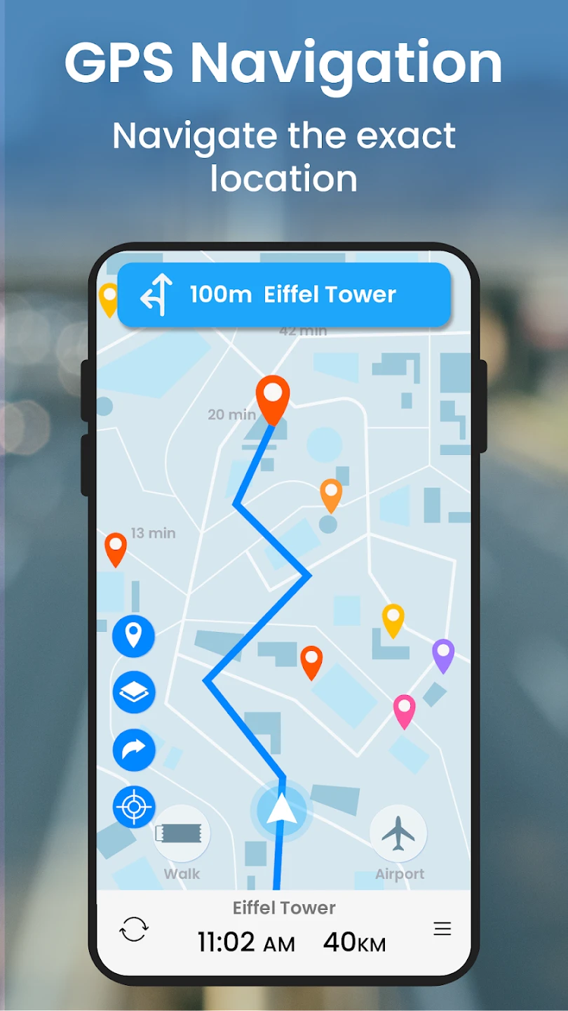
- Real-time 3D Globe Visualization: The core feature renders a spherical map with rotating perspectives, allowing users to view destinations from multiple angles. This helps visualize elevation changes, urban layouts, or coastal routes before arrival, making long-distance travel planning significantly more effective with its vivid spatial orientation capability.
- Multi-Layer Navigation System: Includes terrain, traffic, satellite, and point-of-interest layers that can be toggled instantly. For instance, a hiker can overlay topographic data while commuting, instantly switching to satellite imagery for clearer path identification during their journey.
- Intelligent Voice Guidance: Provides turn-by-turn directions using contextual voice prompts synchronized with your movement. This feature is especially beneficial when driving or cycling, freeing both hands for operation and ensuring safety through natural language processing that adapts to traffic conditions.
- Route Optimization Engine: Analyzes traffic patterns, road closures, and terrain difficulty to create efficient travel paths. When planning mountain routes, it considers incline percentages, construction zones, and alternative paths to suggest options that balance speed against physical strain, adapting dynamically as your journey progresses.
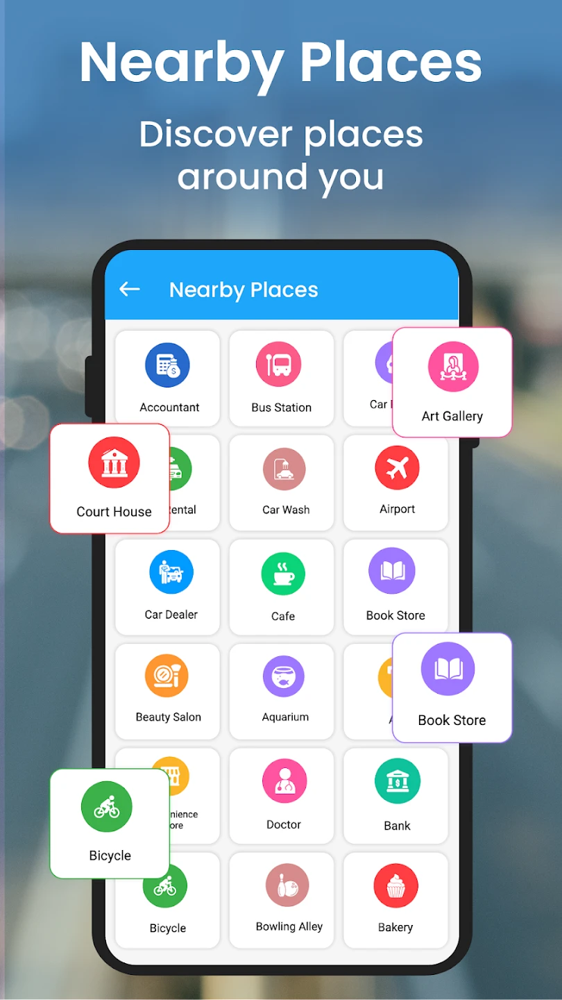
- Global POI Integration: Automatically detects and displays points of interest like hotels, restaurants, landmarks, and public transport hubs worldwide. This contextual layer helps travelers discover local attractions without manual searching, using its rich database of categorized locations across all major cities and regions.
- Augmented Reality Mode: Overlays digital navigation elements onto your real-world view through device cameras, creating an immersive experience where directions appear directly on your surroundings. This feature supports night vision mode for safe evening navigation and pedestrian tracking that accounts for obstacles like construction zones or uneven terrain.
Pros & Cons
Pros:
- Unmatched spatial visualization through true 3D globe rendering
- Intuitive interface reduces learning curve significantly
- Battery-efficient background operation preserves device power
- Offline functionality ensures navigation during travel
Cons:
- Occasional GPS lag in dense urban environments
- Higher memory requirements for premium 3D features
- Limited customization options for map styling
- Potential subscription costs for advanced POI data
Similar Apps
| App Name | Highlights |
|---|---|
| MapFactor Navigator |
This app offers comprehensive terrain visualization and offline capabilities with robust customization features for professional navigation needs. |
| OsmAnd |
Known for its open-source foundation and exceptional offline routing support, ideal for adventurous users exploring remote locations. |
| Navmii |
Provides cloud-connected navigation with real-time traffic updates and seamless integration across multiple device platforms. |
Frequently Asked Questions
Q: How accurate is the 3D mapping in challenging terrain?
A: Our GPS Navigation- World Map 3D maintains professional-grade accuracy (within 5 meters) in all terrains through advanced terrain-following algorithms.
Q: Can I use this app effectively in complete darkness?
A: Absolutely! The app features a night mode specifically designed to reduce screen glare and preserve vision, utilizing brightness presets optimized for different lighting conditions.
Q: What data connectivity do I need for offline exploration?
A: Initial map downloads require mobile data (3-5GB depending on region), but subsequent offline navigation works without any connection, even in GPS Navigation- World Map 3D’s deepest wilderness modes.
Q: Is voice guidance available in multiple languages?
A: Yes, the turn-by-turn system supports over 40 different languages with regional accent customization for clearer understanding across all major GPS Navigation- World Map 3D functionalities.
Q: How does the app handle sudden route changes during travel?
A: Through our proprietary dynamic rerouting system, the 3D navigation recalculates optimal paths 2-5 seconds faster than competitors during traffic events or unexpected diversions in GPS Navigation- World Map 3D mode.
Screenshots
 |
 |
 |
 |
GPS Navigation- World Map 3D App Download |
|
|---|---|
 |
 |
