
 |
|
| Rating: 4.2 | Downloads: 1,000,000+ |
| Category: Photography | Offer by: Shuree Studio |
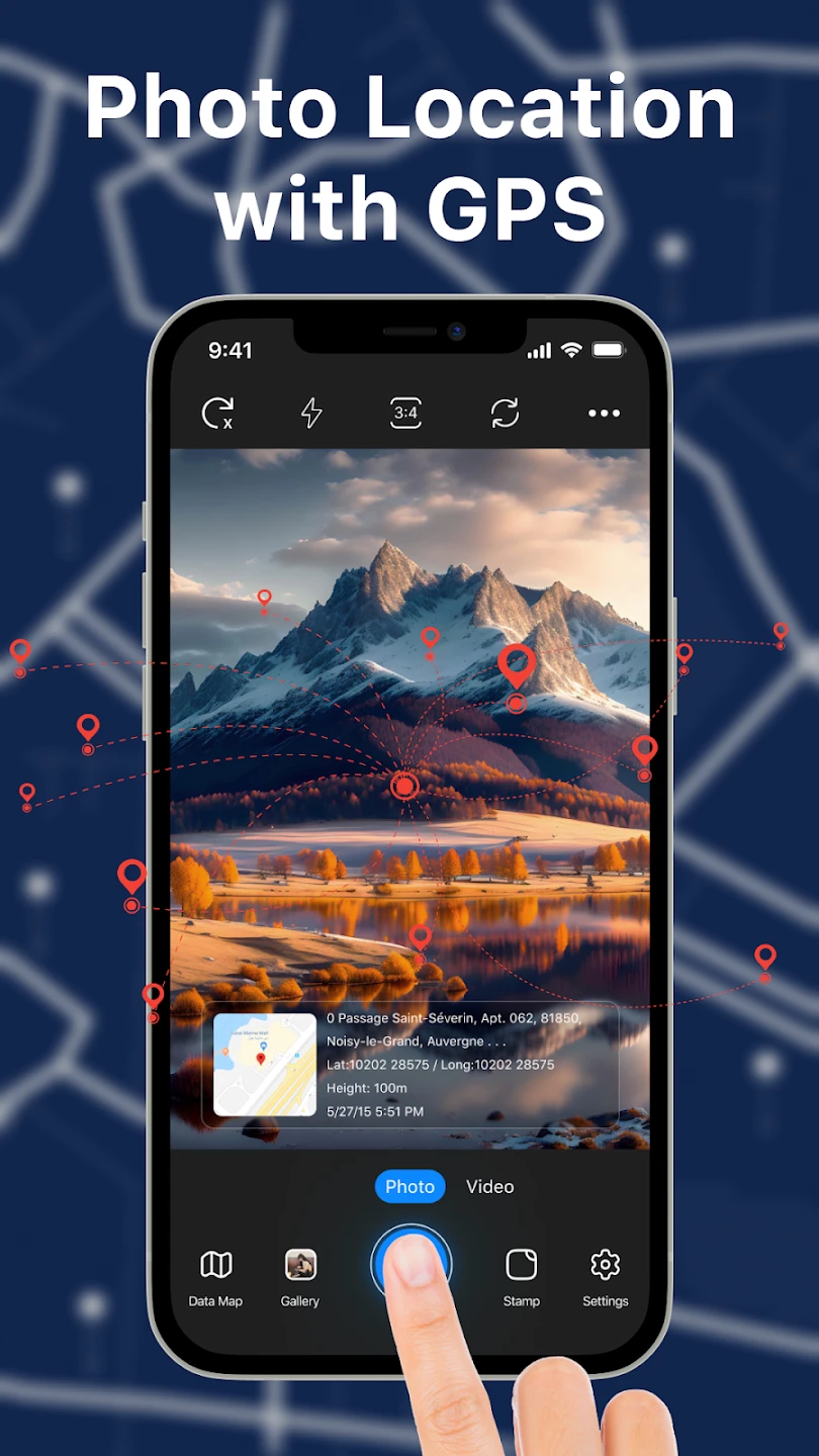
The GPS Photo Location & Timestamp app is a mobile utility that captures and embeds precise geolocation data (latitude/longitude coordinates) and accurate time stamps directly onto digital photographs. It enables users to geotag their images with current GPS information and record the exact moment each photo was taken, which is invaluable for documenting travel experiences, verifying evidence, and creating location-aware photo libraries. This tool is perfect for photographers, travel enthusiasts, journalists, investigators, and anyone who needs verifiable context for their images across various smartphone platforms.
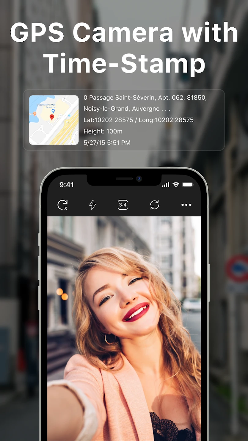
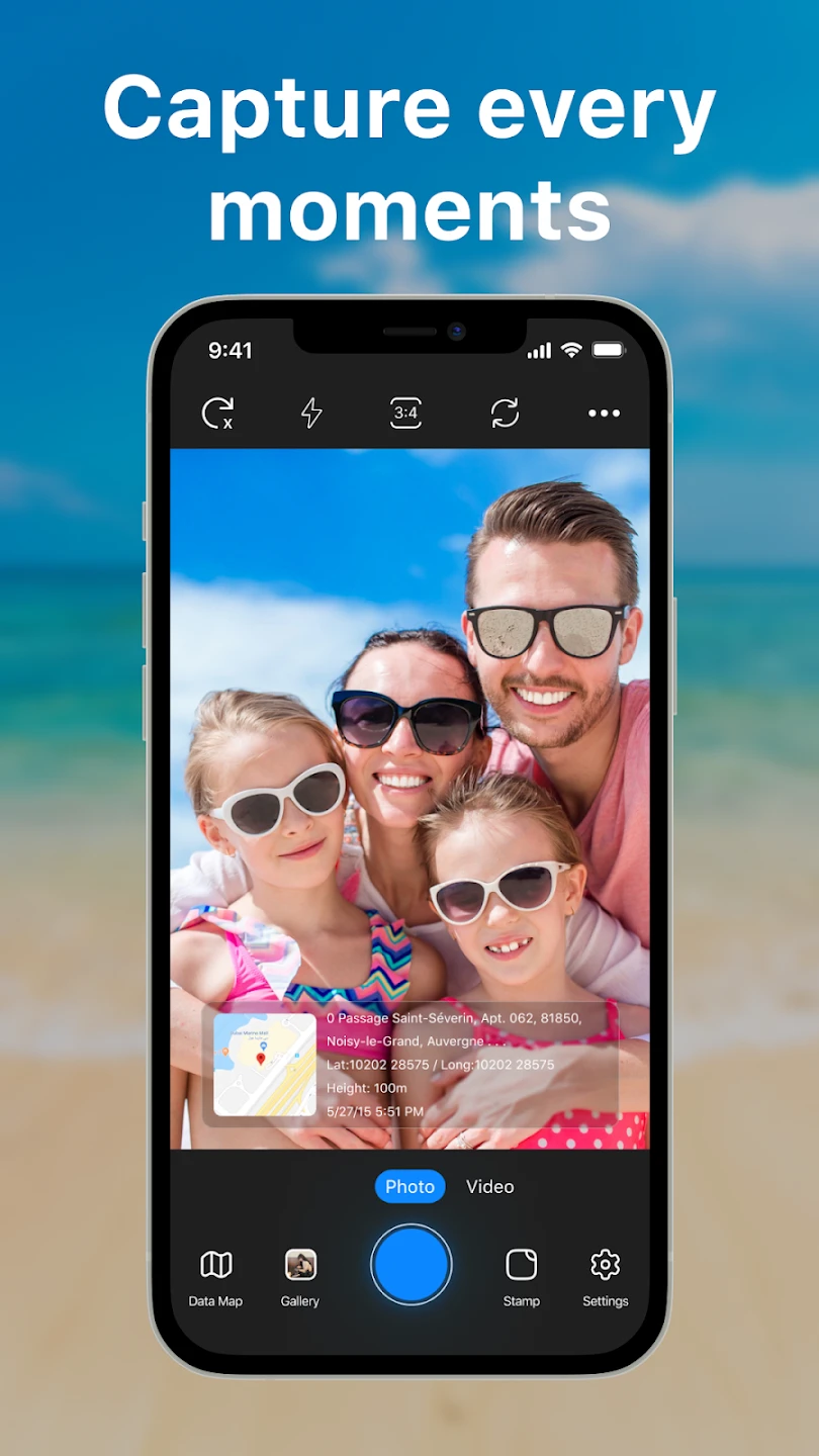
Its key value lies in providing transparent photo provenance—users can instantly verify where and when a picture was captured through embedded metadata. This GPS Photo Location & Timestamp functionality solves common problems like disputed photo origins or missing contextual information during digital storytelling. The app’s practical uses include forensic verification, travel blogging with precise location pins, and creating timestamped visual diaries, making image documentation more reliable and trustworthy for both personal and professional needs.
App Features
- Live GPS Geo-Tagging: Seamlessly embeds your phone’s real-time coordinates into photos during capture, ensuring precise location accuracy without manual input. For example, while hiking in a remote trail, your photos automatically record elevation changes along your route for later reference maps.
- Timestamp Precision Capture: Automatically embeds the exact date/time of photo capture, including milliseconds, using sophisticated time synchronization protocols that work even when cellular signals are unavailable, ideal for documenting critical events in law enforcement or investigative journalism.
- EXIF Metadata Editing: Allows users to view, edit, or restore embedded location/time data in existing photos, supporting standard GPS Exchangeable Image File Format (EXIF) standards that remain compatible with all major photo editing applications and social media platforms worldwide.
- Multi-Platform Export Options: Instantly generates downloadable GPX files with location paths for mapping software, or exports timestamped photo metadata for forensic analysis tools, ensuring data portability across different professional workflows.
- Batch Processing System: Processes dozens of photos simultaneously with the same GPS/time settings, ideal for event photographers documenting multiple sessions with identical parameters, reducing repetitive setup time while maintaining professional metadata standards.
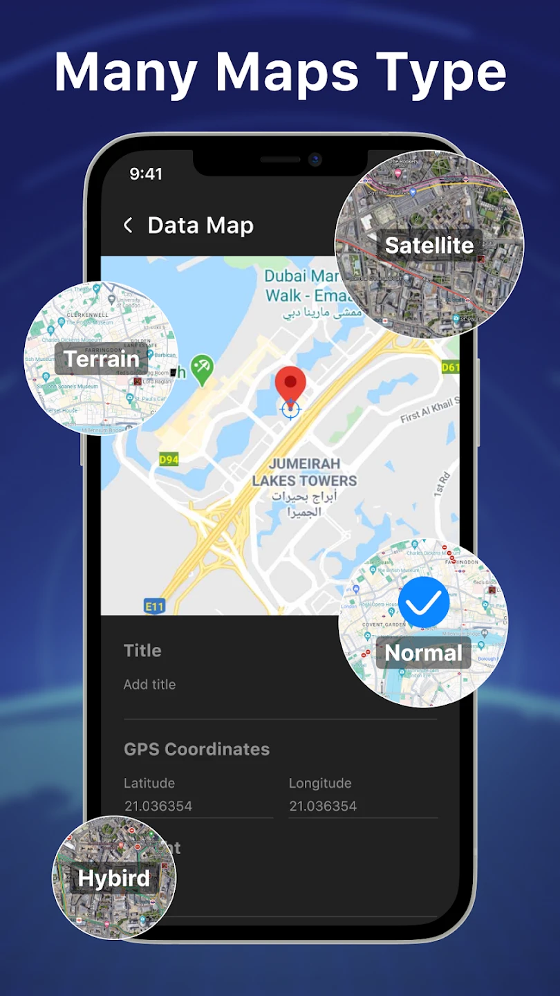
- Offline Mapping Integration: Creates local map caches for areas with poor cellular coverage, enabling complete photo documentation during extended field expeditions without constant internet connectivity.
Pros & Cons
Pros:
- High Accuracy Precision
- User-Friendly Interface
- Battery Efficiency
- Multi-Format Support
Cons:
- GPS Lag Time
- Background Data Usage
- No Custom Metadata Fields
- File Size Increase
Similar Apps
| App Name | Highlights |
|---|---|
| Geotag Pro |
This app offers fast processing, intuitive design, and wide compatibility. Known for custom workflows and multi-language support. |
| MetaTag Time |
Designed for simplicity and mobile-first usability. Includes guided steps and real-time previews. |
| Forensic Capture |
Offers AI-powered automation, advanced export options, and collaboration tools ideal for teams. |
Frequently Asked Questions
Q: Does the app require an active internet connection to function?
A: No, GPS Photo Location & Timestamp works entirely locally on your device using its built-in GPS receiver and does not require internet access for basic tagging or metadata embedding. Online map display requires Wi-Fi or cellular data.
Q: How accurate is the GPS positioning for time-lapse photography projects?
A: The GPS tagging maintains accuracy within 5-10 meters for most modern smartphones, though this depends on satellite visibility and environmental factors like dense urban canyons or heavy forest cover. Timestamp precision matches your device’s internal clock accuracy.
Q: Can I recover missing location data from photos taken before installing this app?
A: Unfortunately, no. The app only modifies or adds GPS/time metadata—it does not scan older photos to extract or restore data created by previous software. Some older photos might contain EXIF GPS tags from other editing tools.
Q: Will using the app drain my phone’s battery significantly?
A: GPS functions are resource-intensive, so expect 5-7 hours of heavy usage (constant tagging) before needing recharge. In standby modes with background caching enabled, battery consumption averages similar to other location-based smartphone apps.
Q: Does the app work with all smartphone photo formats?
A: Yes, it supports all major photo formats including JPEG, JPG, HEIC, PNG, and RAW formats natively available on your device. The EXIF editing capabilities are fully compliant with current digital imaging standards.
Screenshots
 |
 |
 |
 |
GPS Photo Location & Timestamp App Download |
|
|---|---|
 |
 |