
 |
|
| Rating: 4 | Downloads: 10,000,000+ |
| Category: Maps & Navigation | Offer by: Appcentric Team |
The Offline Maps, GPS, Speedometer app is a comprehensive navigation tool designed for outdoor enthusiasts and travelers who need reliable directions and real-time information without relying on internet connectivity. This versatile application combines detailed offline maps, precise GPS tracking, and an accurate digital speedometer to provide an all-in-one solution for navigating unfamiliar territories or monitoring vehicle speeds on the go.
Offline Maps, GPS, Speedometer stands out by empowering users in remote areas or during emergencies when traditional navigation systems fail. Its practical usage spans from hiking trails in wilderness areas to road trips in rural regions, making it an essential companion for anyone who needs dependable navigation without cellular service.
App Features
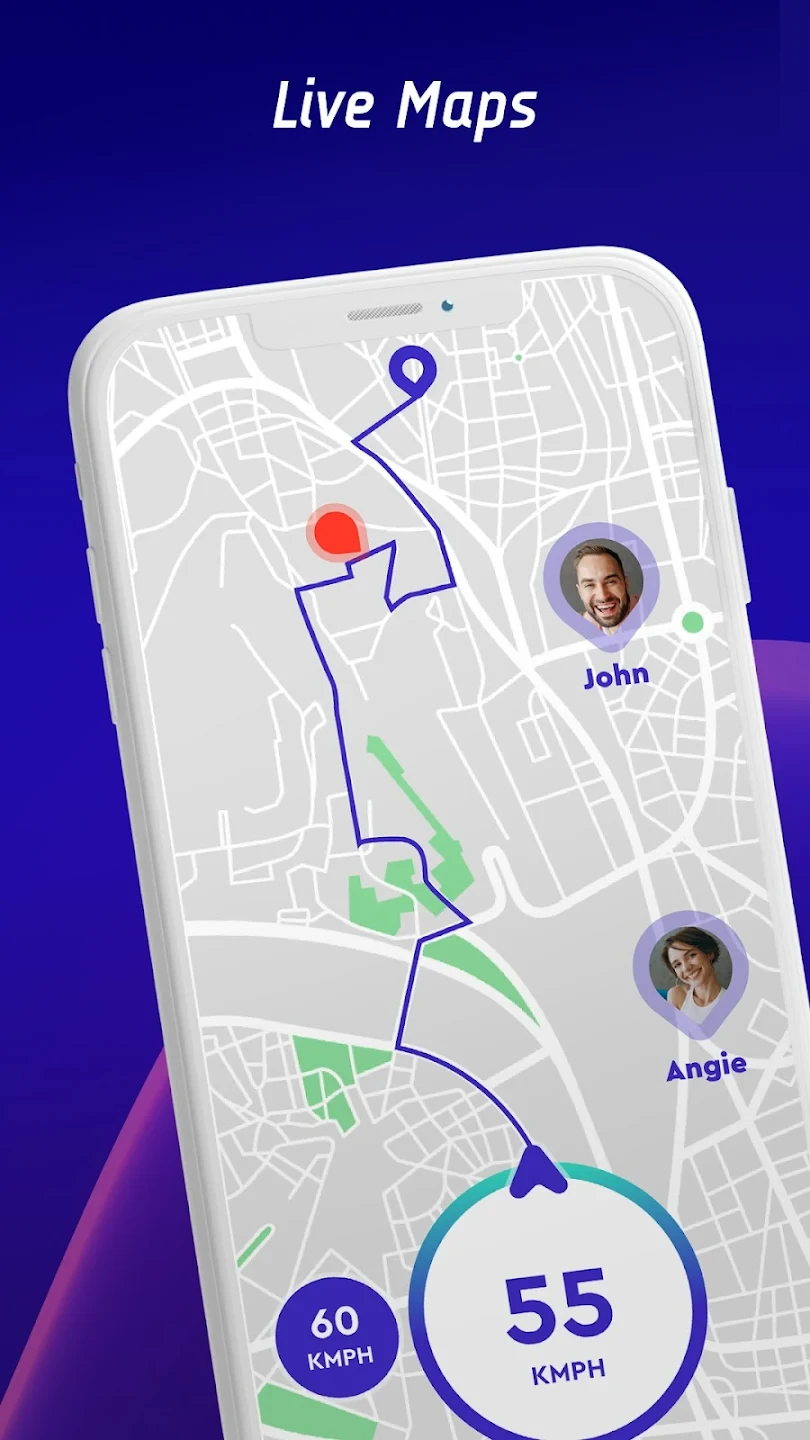
- Offline Maps: Access detailed navigation without internet connection by downloading map tiles beforehand. This feature is crucial during emergencies or in rural zones where connectivity is unreliable, allowing users to confidently explore without risk of getting lost while hiking or driving through unfamiliar terrain.
- GPS Tracking: Utilize satellite-based positioning for real-time location accuracy with customizable waypoints and route recording. The system employs advanced algorithms to maintain precise tracking even in dense urban environments or under varying weather conditions, significantly enhancing trip planning and route retracing capabilities.
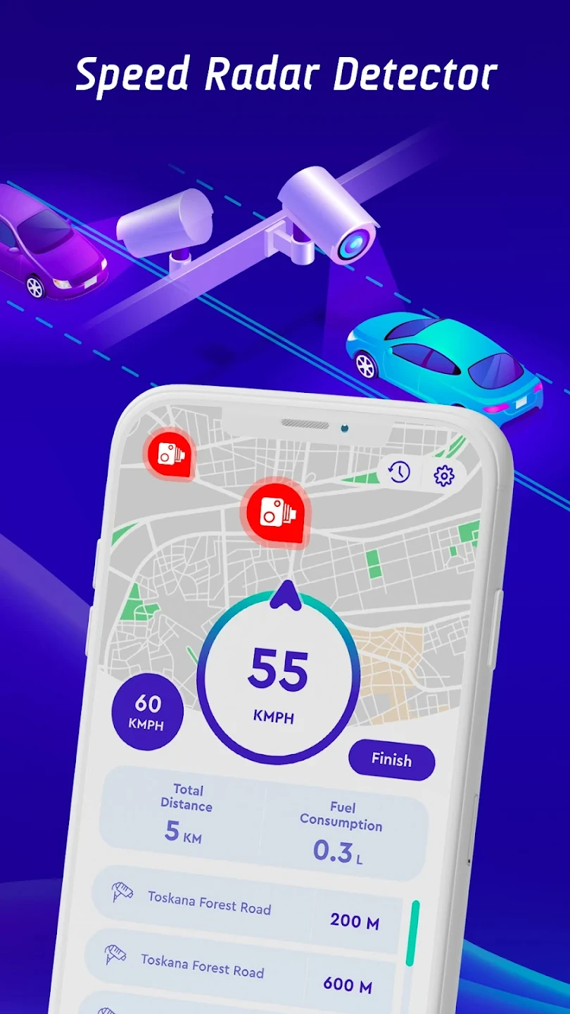
- Speedometer: Monitor instantaneous velocity and average speed calculations with odometer tracking. This functionality is especially valuable for cyclists measuring workout performance or drivers monitoring fuel efficiency, providing precise metrics that help users optimize their movement patterns for efficiency.
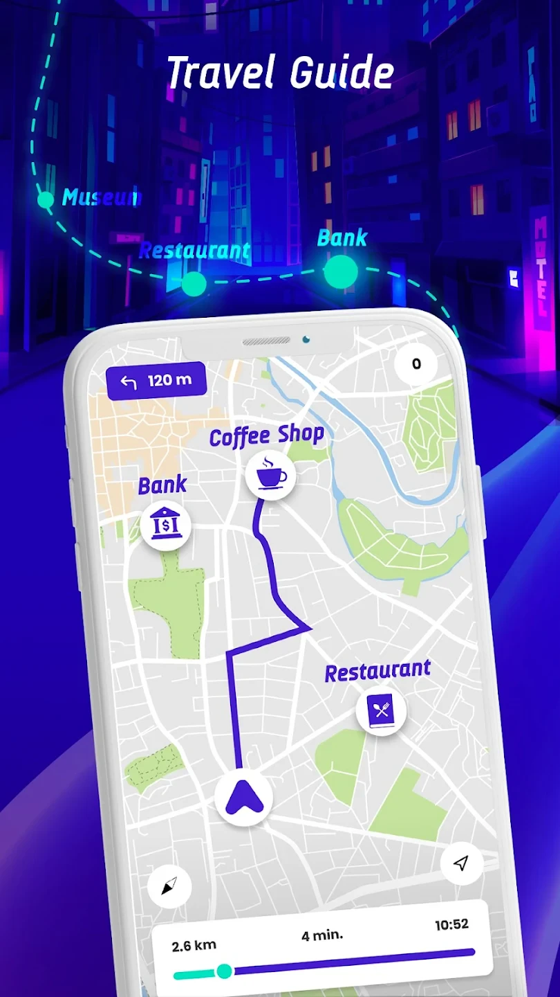
- Route Navigation: Plan and follow detailed turn-by-turn directions that adapt to terrain changes or traffic conditions. Users benefit from this system when venturing into undeveloped regions or complex urban networks, receiving visual guidance that accounts for natural obstacles or construction zones that might otherwise confuse simpler navigation tools.
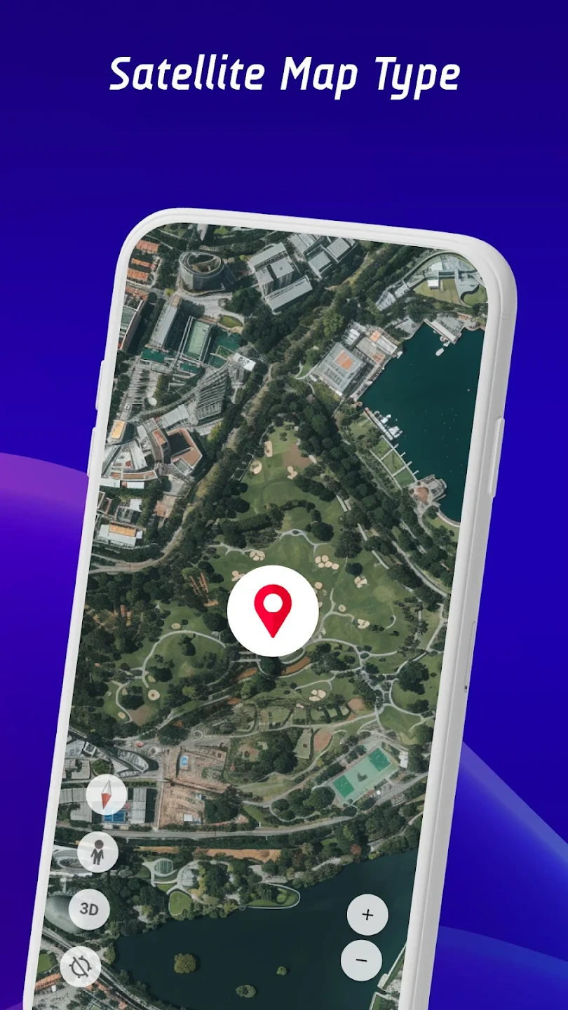
- Map Layers: Toggle between terrain views, satellite imagery, and topographic overlays for comprehensive spatial awareness. Hikers exploring mountain ranges or urban planners analyzing development zones find this flexibility particularly useful for understanding environmental context that standard mapping systems might omit.
- Data Management: Save multiple map datasets and synchronization options for different devices. Adventure enthusiasts planning multi-day expeditions with different team members or travelers managing separate personal and professional mapping needs greatly appreciate this organized approach to managing essential navigation resources.
Pros & Cons
Pros:
- Complete navigation independence
- Highly responsive tracking
- Detailed map customization
- Multiple data format support
Cons:
- Initial map downloads take significant storage space
- Satellite imagery updates require re-downloading data
- Battery drain increases during extensive use
- Complex menu structure may overwhelm new users
Similar Apps
| App Name | Highlights |
|---|---|
| TrekBuddy |
Focuses on outdoor navigation with custom map editing and multi-format compatibility. Ideal for serious hikers needing specialized terrain visualization features. |
| TwoNav |
Offers vector maps, track sharing, and advanced geocaching integration for collaborative outdoor activities. |
| Maps&GPS |
Included with Garmin devices and supports multipath GPS fixing for extremely reliable tracking in challenging environments. |
Frequently Asked Questions
Q: How much storage space do I need for offline maps?
A: The Offline Maps, GPS, Speedometer app requires approximately 50–150 MB per 1,000 square kilometers of map data, depending on resolution. Download time is typically shorter than expected, and users often find creative storage solutions like external SD cards.
Q: Can the app work during phone power-off?
A: Yes! The app’s GPS and speedometer functions operate independently of your phone’s main system. We recommend turning off non-essential features to maximize battery life when fully utilizing these powerful components.
Q: What accuracy level can I expect from the GPS tracking?
A: The app maintains typical civilian GPS accuracy of 3–5 meters, which is considered excellent for navigation purposes. Accuracy improves with better satellite visibility and fewer obstructions like tall buildings.
Q: How does the speedometer account for different wheel sizes?
A: The app includes manual calibration settings for various wheel diameters and tire pressures, ensuring accurate speed calculations regardless of your vehicle or equipment configuration.
Q: Can I use this app with automotive dash cameras?
A: Absolutely! The app integrates seamlessly with dash camera footage for time-stamped navigation overlays. This combination creates professional-grade driving logs perfect for insurance claims or detailed trip analysis.
Screenshots
 |
 |
 |
 |
Offline Maps, GPS, Speedometer App Download |
|
|---|---|
 |
 |