
 |
|
| Rating: 4.4 | Downloads: 10,000,000+ |
| Category: Maps & Navigation | Offer by: duff hl studio |
The Radar GO-X: HUD, GPS, Maps app is a comprehensive navigation and information system designed primarily for cyclists, motorcyclists, and outdoor enthusiasts. It overlays crucial navigation data onto the user’s view of the road or trail via a Heads-Up Display (HUD) projection or directly on a compatible screen, integrating detailed mapping with turn-by-turn guidance. It’s tailored for individuals seeking a seamless, distraction-free way to navigate safely during active travel.
The core value of the Radar GO-X: HUD, GPS, Maps lies in its ability to keep users informed and focused on their path. Its practical usage includes safely viewing directions, points of interest, speed limits, and elevation profiles without constantly looking down at a separate device, enhancing situational awareness and making long journeys more comfortable and efficient.
App Features
- Six-Axis Electronic Compass: This feature accurately determines direction relative to the user’s orientation, providing a stable heading pointer that rotates with the phone regardless of how it’s held. This significantly improves usability by allowing riders and hikers to maintain an uncluttered view of their surroundings while easily understanding their direction of travel, even when the device orientation changes.
- High-Quality Base Maps & Topo View: Offering detailed map layers including standard navigation, topographic information, and satellite imagery, these maps provide essential terrain and location context. This feature enhances performance and reliability by ensuring accurate turn directions and point-of-interest location identification, whether in dense urban environments, remote wilderness areas, or on coastal routes, supporting diverse adventure needs.
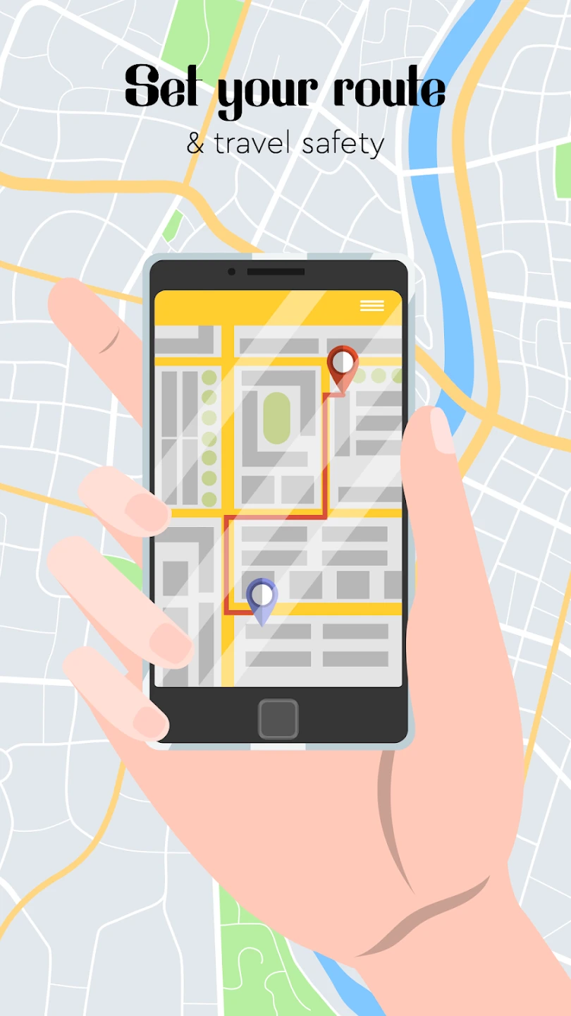
- Roadbook Navigation System: This system presents navigation instructions in a clear, sequential format, typically listing upcoming turns, junctions, and estimated distances. It solves the problem of complex turn instructions by breaking them down into easily digestible steps, reducing cognitive load and minimizing the need to constantly check the screen, leading to a smoother and safer journey.
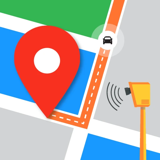
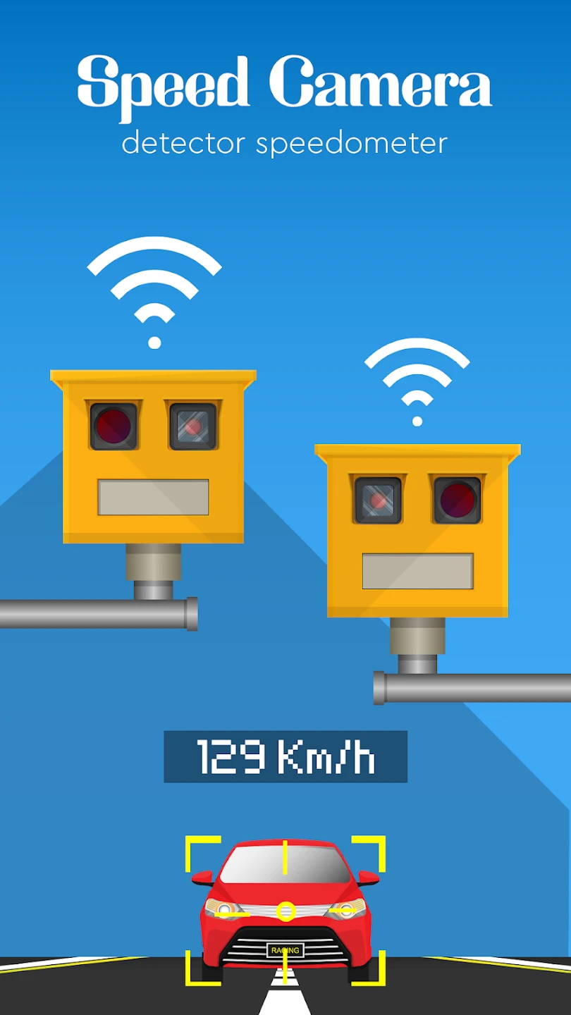
- Heads-Up Display (HUD) Projection: This feature projects critical navigation information—like turn arrows, speed, and direction—onto the real-world view seen through the windshield or directly onto a compatible motorcycle or bike-mounted display. It’s valuable because it saves time and prevents dangerous glances at a handheld device, allowing users to maintain focus on the road ahead or trail, and integrating seamlessly with other driving or riding metrics.
- Customizable Interface Layout: Users can personalize the dashboard layout by selecting which widgets or information panels are displayed, choosing from options like speed, GPS signal strength, battery level, compass bearing, and more. This flexibility matters for different types of users and situations, allowing cyclists to prioritize speed and terrain data, while hikers might choose focus on elevation profiles and remaining route distance, optimizing the device for specific activities or environmental conditions.
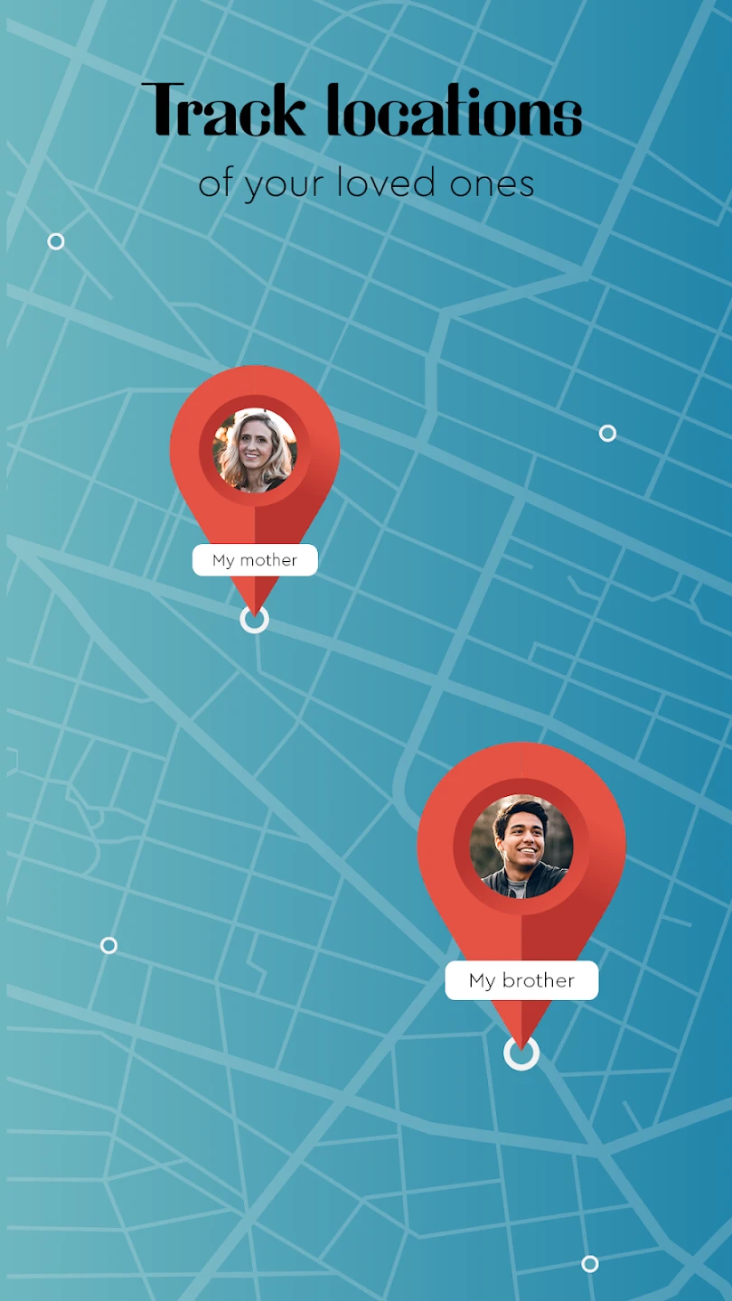
- Riding Statistics & Trip Tracking: This optional feature provides detailed performance metrics during use, tracking distance, speed, pace, elevation gain/loss, and time spent on routes, often with the ability to record and review trips later. Supporting the overall functionality by integrating with the maps, this helps users analyze their progress, set fitness goals, and explore terrain effectively, offering valuable insights beyond basic navigation, especially beneficial for training or adventure planning.
Pros & Cons
Pros:
- Safer Navigation Experience
- Highly Customizable Display Options
- Precise Electronic Compass for Any Device
- Detailed Base Maps for Diverse Terrains
Cons:
- Potentially Sensitive to Magnetic Interference
- Requires a Suitable Display for Optimal HUD Use (e.g., specialized mounts)
- Occasional GPS Signal Acquisition Delays in Challenging Areas
- Interface Performance May Vary on Older Smartphone Models
Similar Apps
| App Name | Highlights |
|---|---|
| Garmin Edge Series (e.g., Edge 1030) |
Premium GPS devices built for dedicated cyclists and outdoor athletes. Features high-accuracy GPS, advanced routing options like Clustering technology, and a wide array of sensors. Known for durable design and extensive integration with training software, ideal for serious performance tracking and complex off-road navigation. |
| TwoNav |
A versatile navigation app focused on simplicity and offline capabilities, particularly popular among hikers. Provides topographic maps (vector and raster), waypoints, and tracks. Includes seamless map switching and intuitive UI, making it excellent for rugged terrains where data usage might be limited. |
| Strava |
While primarily a social activity and performance tracking platform, Strava includes robust mapping and routing features. It leverages user-contributed segments and detailed elevation data. Known for the social aspect and performance analytics, it’s great for finding routes, comparing times, and tracking progress, integrating maps as a supportive feature alongside activity data and community features. |
Frequently Asked Questions
Q: Do I need any specific hardware, like a HUD screen, to use the HUD projection feature effectively?
A: While the HUD projection function itself uses the phone’s front camera, its true advantage comes with dedicated HUD displays (often integrated into bikes or mounts with specialized projection capabilities). For the best experience, especially at high speeds or for cyclists/motorcyclists, an external screen is recommended, but the projection logic is part of the app’s core navigation processing and can be used conceptually even without a hardware HUD.
Q: How does the built-in compass handle magnetic interference from nearby metallic objects or electronic devices?
A: The app utilizes advanced electronic compass algorithms. These algorithms actively compensate for the phone’s own magnetometers and external magnetic fields to maintain accuracy. However, extreme interference (like passing large vehicles or strong magnets) could temporarily cause inaccuracies, which usually resolve once the source is moved away.
Q: Can I use Radar GO-X: HUD, GPS, Maps while riding in complete darkness?
A: Yes, absolutely. The app includes an ambient light sensor that automatically dims or changes the color temperature of the screen for easier viewing in low-light conditions. Furthermore, its compatibility often extends to using the app via a phone mount with a night visor or directly on a compatible HUD display designed for nighttime use, ensuring visibility even when roads are dark.
Q: Is the app data-heavy and require constant internet connection for navigation?
A: No, you can absolutely use Radar GO-X: HUD, GPS, Maps without an internet connection. Once you’ve downloaded the map data relevant to your destination or region, the core navigation functions (turn-by-turn, compass, basic map view) work entirely offline on supported devices. Internet connectivity is primarily needed for map updates, finding points of interest, and accessing certain online features.
Q: How often are the base map data updated within the app?
A: Base map data updates frequency depends on the subscription plan (e.g., Premium+, Premium). Typically, updates are rolled out automatically on a regular schedule, often every few weeks or months, ensuring you have the most current roads, points of interest, and administrative boundaries. This automatic update mechanism ensures the navigation experience remains accurate and up-to-date without needing manual intervention from the user.
Screenshots
 |
 |
 |
 |
Radar GO-X: HUD, GPS, Maps App Download |
|
|---|---|
 |
 |