
 |
|
| Rating: 3.3 | Downloads: 1,000,000+ |
| Category: Maps & Navigation | Offer by: Macro Mobile Solution |
The Satellite View:Live Earth Maps app is a powerful tool for accessing and viewing current satellite imagery from around the globe directly on compatible mobile devices. It provides users with access to real-time or near-real-time views of the Earth’s surface, allowing them to explore locations and see changes as they happen. This application caters to travelers seeking visual confirmation, researchers monitoring environmental shifts, and anyone simply curious about our planet from space.
Key to the app’s appeal is its ability to offer dynamic Earth imagery, providing a unique perspective unavailable through static maps. Satellite View:Live Earth Maps empowers users with timely information for navigation, education, project planning, or environmental awareness, making satellite data accessible anytime, anywhere.
App Features
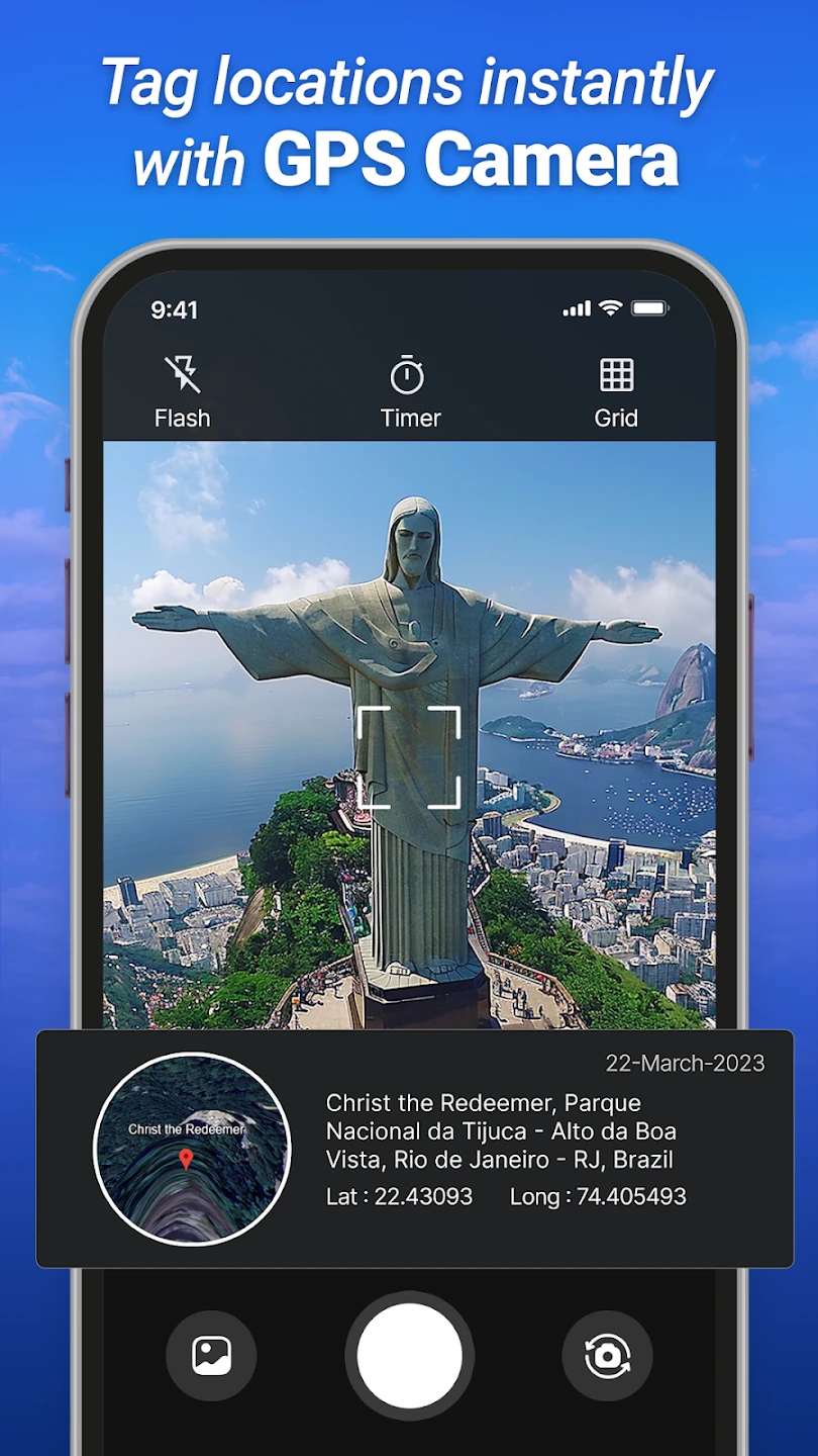
- Live Satellite Imagery: Instantly view current satellite photos of any location across the globe, refreshed frequently to show the most recent captures available. This means seeing things like recent floods, new road constructions, or the changing seasons directly from space, giving users an accurate, up-to-date picture of their destination or area devenest.
- High-Resolution Zooming: Explore detailed satellite maps by zooming in significantly, revealing street-level features from hundreds of miles above the Earth’s surface. This feature is invaluable for pinpoint navigation, examining architectural details of distant cities, or identifying specific points of interest, offering unparalleled clarity and precision in map exploration.
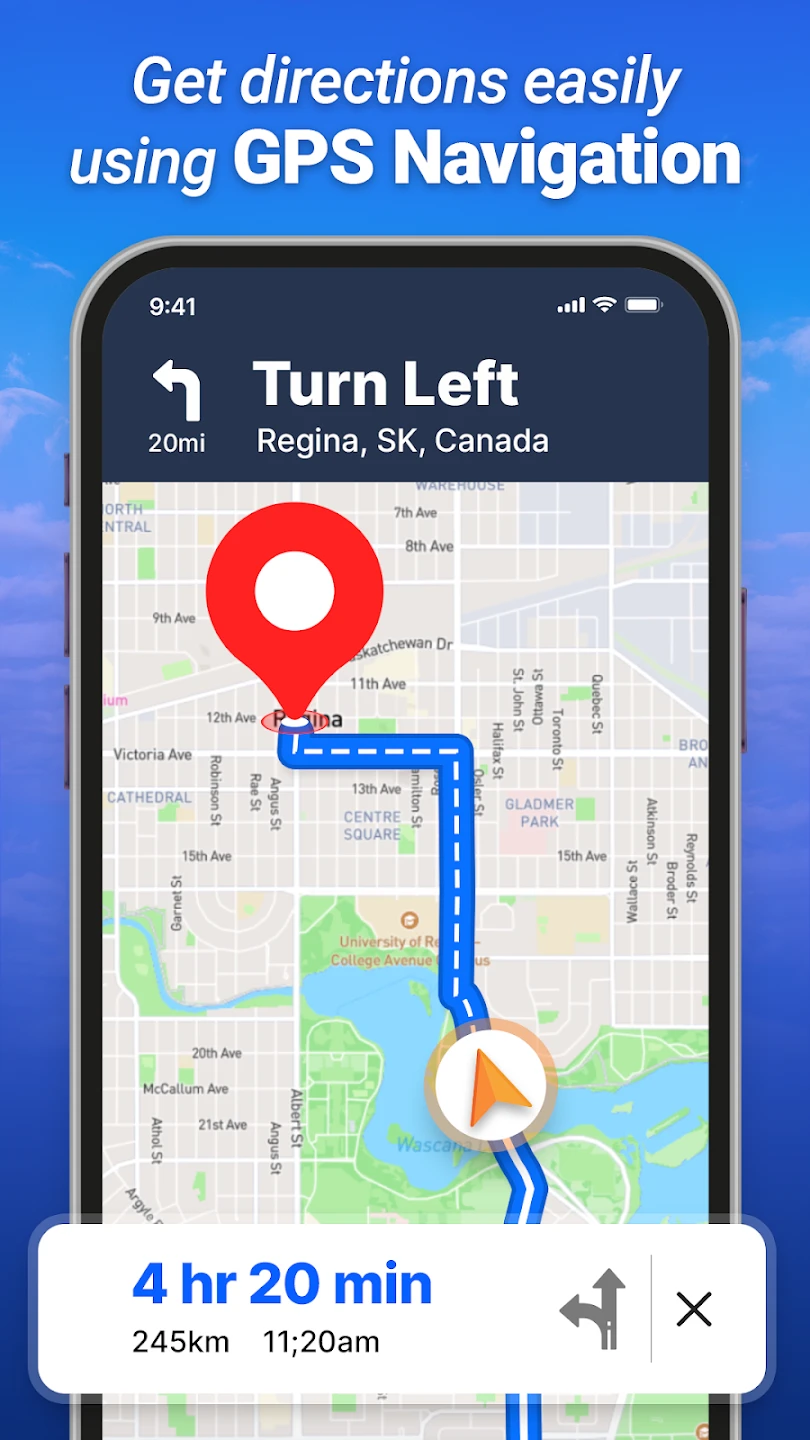
- Global Coverage & Offline Maps: Access maps covering virtually every corner of the planet, with an optional offline mode allowing you to download map tiles for specific areas. This is perfect for travel planning and ensures you can navigate and explore even without cellular data connectivity, solving the common issue of limited data access while on the go and enhancing usability in low-signal areas.
- Simple, Intuitive Interface: Navigate the globe easily using touch controls – just tap, swipe, and pinch-to-zoom. Designed for straightforward use, even on smaller screens, this makes accessing complex satellite data accessible to everyone, not just technical experts. What makes it valuable is its simplicity, allowing users to focus on discovering Earth rather than struggling with complicated tools.
- Layer Switching Options: Choose between satellite view and potentially other specialized basemaps, like terrain or standard map layers, depending on the specific app version and data sources available, providing different perspectives for analysis or simply visual variety. This flexibility is key for users wanting to compare different data sets or see the same location represented in multiple ways, catering to both casual users and professionals needing varied information layers.
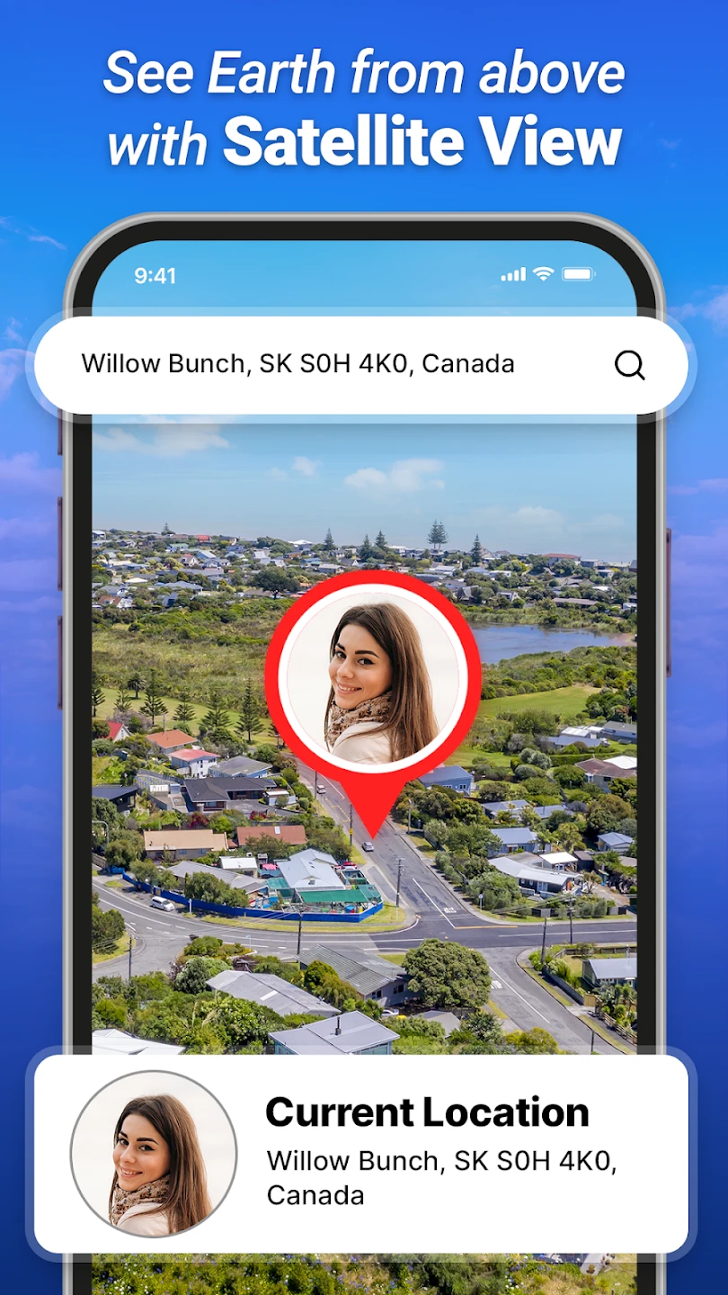
- Search Functionality: Enter an address, city name, or landmark to jump directly to a specific location on the map, saving time and effort compared to manual panning. This feature supports quick lookup for directions or point-of-interest verification, significantly speeding up the process of finding and navigating to specific places.
Pros & Cons
Pros:
- Instant Access to Current Imagery
- Extremely Detailed Zoom Levels
- Works Offline in Areas with No Signal
- Easy-to-Use Touch Controls
- Wide Range of Global Coverage
- Powerful Search Capabilities
Cons:
- Dependent on Internet Connection for Initial Data Loading
- Data Refresh Rates Can Be Slower in Some Regions
- Offline Mode Requires Pre-Downloading Tiles for Specific Areas
- Satellite Imagery Might Have Cloud Cover Obscuring Certain Details
Similar Apps
| App Name | Highlights |
|---|---|
| EarthPoint Live |
This app focuses on high-accuracy geospatial data overlay and integration tools, often used for professional surveying or analysis, offering more technical control than basic satellite viewers. |
| MapFactor Navigator |
Designed primarily for mobile navigation with offline capabilities, it also frequently includes live satellite imagery as one of its map layers for visual orientation and exploration. |
| Bing Maps Imagery |
Known for its integration within Microsoft products and services, offering access to extensive aerial and satellite photography directly through its web platform and mobile applications. |
Frequently Asked Questions
Q: How often does Satellite View:Live Earth Maps update its imagery?
A: Imagery updates frequently, though the exact refresh rate can vary significantly depending on your location, the satellite provider’s schedule, and the weather conditions. Generally, you’ll see imagery that is relatively current, often captured within the past few days or weeks. Check the app’s information section for details specific to your region’s update frequency.
Q: Can I use the app without an internet connection once I’ve loaded some maps?
A: Yes, typically, once you have downloaded map tiles or data for a particular area into your offline storage, you can explore that region without needing cellular or Wi-Fi service. Keep in mind that initial downloads require an internet connection and may consume data.
Q: What happens if clouds obscure the view in an area I’m interested in?
A: Cloud cover can unfortunately block the satellite view. In such cases, the app usually defaults to displaying standard map tiles (like roads and landmarks) instead of the obscured satellite image for that specific view. You can try again later, perhaps after the clouds have passed.
Q: Is there a cost associated with downloading and using this app?
A: Satellite View:Live Earth Maps is typically offered as a free application download from its respective app store, though some features (like very detailed imagery or extensive offline downloads) might operate on a premium or subscription model. Verify the pricing details directly within the app store listing before installation to avoid surprises.
Q: How do I find specific places, like my home address, on the map?
A: Use the search bar located on the map screen. Simply tap it, enter your address or place name (like a city or landmark), and tap “Go” or the search icon. The map should instantly center on your location based on the search results. You can then zoom in and explore further using the touch controls.
Screenshots
 |
 |
 |
 |
Satellite View:Live Earth Maps App Download |
|
|---|---|
 |
 |