
| Rating: 3.6 | Downloads: 5,000,000+ |
| Category: Maps & Navigation | Offer by: GPS Apps Box |
The Street View Map and Navigation app is your digital companion for exploring unfamiliar territories. It combines comprehensive street-level imagery with intuitive routing tools, designed primarily for tourists, delivery personnel, and everyday commuters seeking reliable directions and visual context without needing to physically arrive at every location.
Its key value lies in providing a realistic preview of your surroundings and optimizing your route efficiently. This app streamlines planning and enhances the navigation experience, making getting from point A to B faster, safer, and much more informed, whether you’re navigating a new city or just your local neighbourhood.
App Features
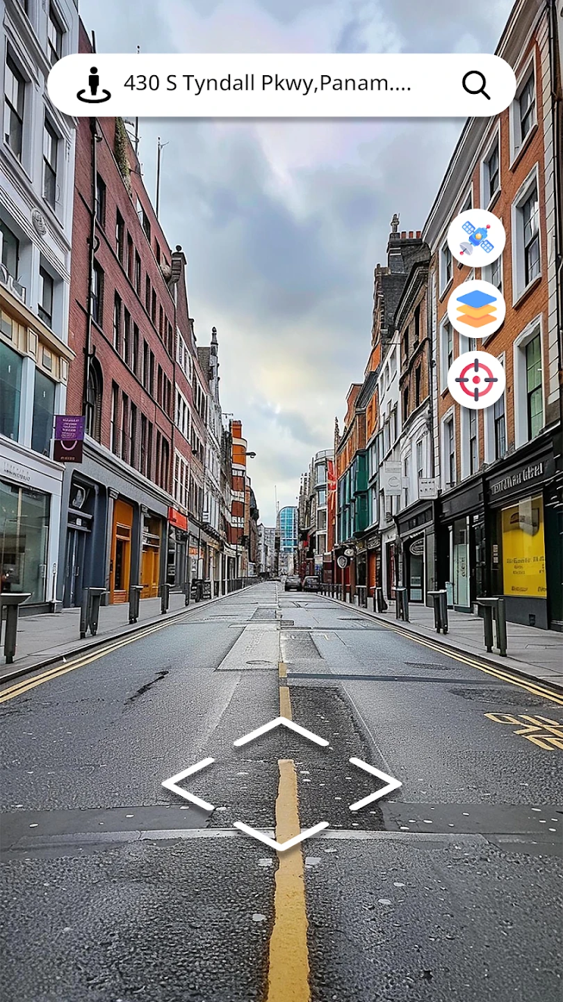
- Interactive Street View Navigation: Seamlessly navigate using detailed street-level imagery. This feature provides a realistic preview of your surroundings before you even step out your door, allowing users to plan their routes more effectively and avoid unexpected dead ends.
- Offline Maps & Navigation: Download map data for areas with poor connectivity, ensuring you can explore and navigate even without an internet connection. This significantly improves usability during travel in remote regions or underground, saving crucial time and reducing reliance on spotty service.
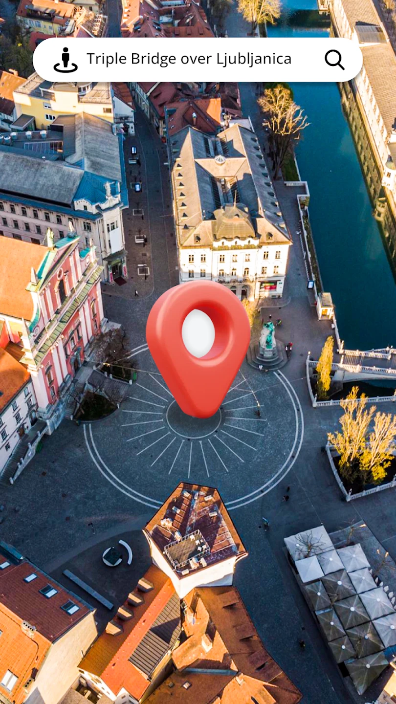
- Layered Map Information: View multiple map layers simultaneously (points of interest, traffic, terrain, satellite imagery). This enhances the experience by giving context to your route choices and helps users solve complex navigation problems, especially in unfamiliar cities or during special events.
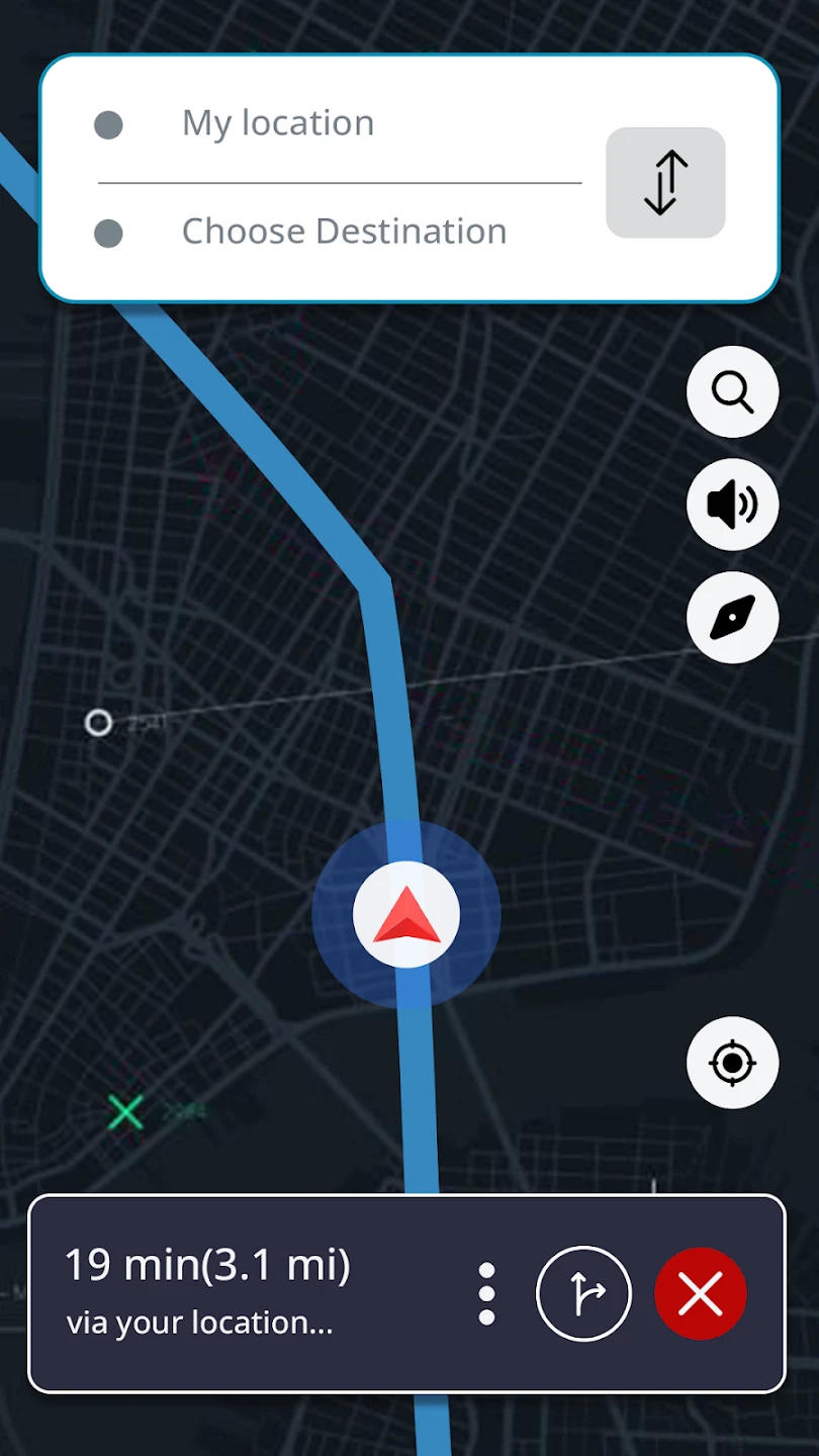
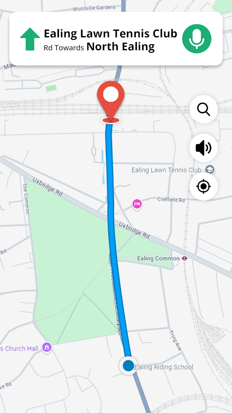
- Real-time Directions & Routing: Get turn-by-turn guidance adapted for your current mode of transport (walking, cycling, driving). Its value is undeniable when you’re in a hurry or need clear instructions for complex intersections, preventing confusion and saving valuable time.
- AR (Augmented Reality) Walking Navigation: Point your device at the ground to see directions superimposed on your camera view. This innovative feature solves the problem of deciphering complex intersections while walking, making navigation more intuitive and reducing the risk of getting lost, especially for younger users or those in new environments.
- Multi-Language Interface & Sign Translation: Access the app settings to change the interface language and utilize built-in translation for road signs and landmarks. This crucial flexibility makes the Street View Map and Navigation app ideal for international travel, breaking down language barriers and enhancing usability for global travellers.
Pros & Cons
Pros:
- Intuitive Interface Design
- Offline Mapping Capability
- Detailed Street View Imagery
- Multi-Transportation Routing Options
Cons:
- Limited 3D Building Detail
- Occasional POI (Point-Of-Interest) Inaccuracy
- Data Usage for Continuous AR Mode
- Occasional Minor Routing Inefficiency
Similar Apps
| App Name | Highlights |
|---|---|
| Google Maps Street View |
The industry standard offering vast global coverage with frequently updated imagery and robust routing. Known for its integration with search and local services. A key competitor offering similar core functionalities. |
| Apple Maps |
Designed for simplicity and mobile-first usability across Apple devices. Includes turn-by-turn navigation and street view access, though imagery might be slightly less detailed or updated in some regions. |
| Waze |
Focuses heavily on real-time traffic conditions and user-contributed reporting for faster routes. Excellent for driving navigation and getting around congested areas efficiently, but less focused purely on static street view exploration. |
| Citymapper |
Known for its smart routing across multiple transport modes in urban areas, often including real-time public transit data. Offers visual step guidance and integrates local services well, though street view depth can vary regionally. |
| Mapillary StreetMap |
Specializes in community-collected street level imagery, offering very detailed views of roads and surroundings. Useful for identifying specific properties, verifying delivery addresses, or exploring areas with high-resolution visual context. |
| HERE WeGo |
Offers turn-by-turn navigation, offline maps, and Street View imagery, particularly strong in Europe. Known for detailed routing information and good indoor navigation options where available. |
Frequently Asked Questions
Q: Can I use Street View Map and Navigation offline once I’ve downloaded the maps for a specific area?
A: Definitely! The Offline Maps feature lets you download map data for any area you plan to visit. You can explore and navigate using turn-by-turn directions and view Street View imagery even without a live internet connection, making it perfect for travel without data roaming charges.
Q: Are the street views in the app regularly updated?
A: Yes, typically. While the update frequency may vary by region, the Street View imagery is generally updated periodically to reflect changes like new roads, construction, or renamed places. This ensures the visual navigation experience remains as current and helpful as possible.
Q: Does the app work well for navigating within my own city that isn’t covered by the global map?
A: Absolutely. The app relies on detailed map data provided by authoritative sources, covering cities and towns worldwide. If your local city isn’t listed, it might be due to incomplete data, but the core navigation features (like routing and map viewing) should still function using the available maps.
Q: How accurate are the turn-by-turn directions provided by the app?
A: The routing aims to provide accurate and efficient directions, drawing on comprehensive datasets. While the app strives for precision, occasional deviations might occur due to complex local conditions or temporary road closures. Always be aware of your surroundings while navigating.
Q: Is there a cost to using the basic Street View Map and Navigation features?
A: The core Street View Map and basic Navigation features are typically available for free within the app. Premium features like advanced offline map areas or enhanced routing options might be available through in-app purchases or subscriptions, but the essential functionality is accessible without cost.
Screenshots
 |
 |
 |
 |
Street View Map and Navigation App Download |
|
|---|---|
 |
 |