
 |
|
| Rating: 4.2 | Downloads: 500,000,000+ |
| Category: Maps & Navigation | Offer by: Waze |
The Waze Navigation & Live Traffic app is a community-driven navigation tool that leverages real-time reports from drivers to provide accurate, up-to-date routing and traffic information. It helps users get where they need to go faster by identifying optimal routes based on current road conditions, accidents, slowdowns, and user-contributed data. Ideal for anyone commuting daily, planning road trips, or simply wanting a smarter way to navigate unfamiliar areas.
The key value of Waze Navigation & Live Traffic lies in its dynamic nature and user engagement; the app constantly learns from driver reports, offering unique insights and often avoiding significant delays. Its appeal stems from a practical blend of navigation features, entertainment (like discovering cool places along your route), and the feeling of contributing to a collective intelligence for road information.
App Features
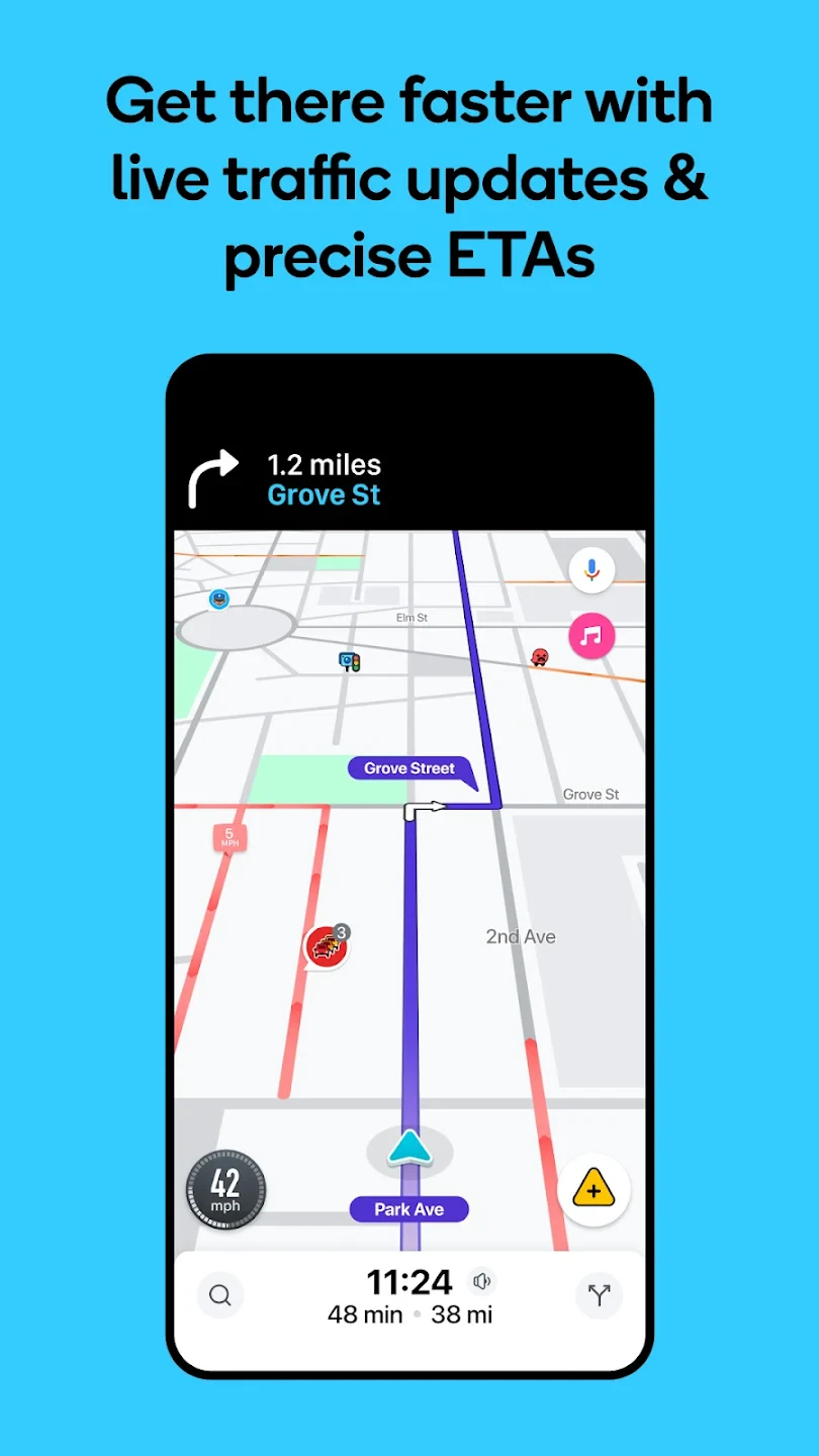
- Real-time Traffic Updates & Alerts: Instantly receives reports from nearby drivers about accidents, road closures, speed traps, and other hazards, displayed clearly on your map. This proactive information helps avoid stressful delays and potential fines by rerouting you around problems before they significantly impact your journey.
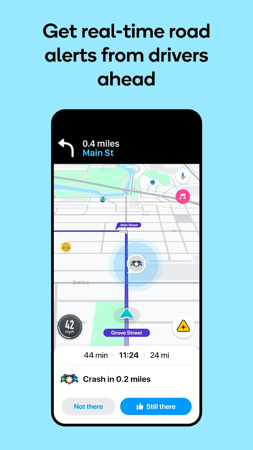
- Live Driving Conditions: Users actively report lane closures, construction zones, and police activity directly via the app, which are instantly visible to other Waze users in the vicinity. This feature enhances safety and awareness on the road by providing immediate, localized updates often missed by traditional GPS systems, allowing for safer navigation.
- Alternative Route Suggestions: The app continuously calculates the fastest possible route based on current traffic data and user reports, offering multiple options to reach your destination efficiently. By considering dynamic conditions like congestion and accidents, Waze saves valuable time, especially during peak commute hours when even short diversions make a big difference.
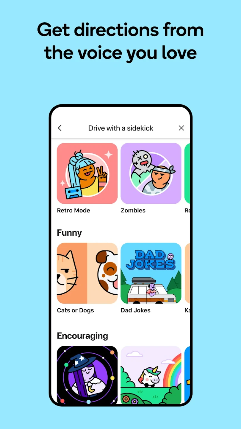
- Voice Navigation Guidance: Offers turn-by-turn spoken directions with frequent updates and prompts, compatible with various in-car systems and smartphone use. This hands-free approach ensures drivers remain focused on the road, reducing distractions and improving overall safety while providing clear instructions even when the device isn’t visible.
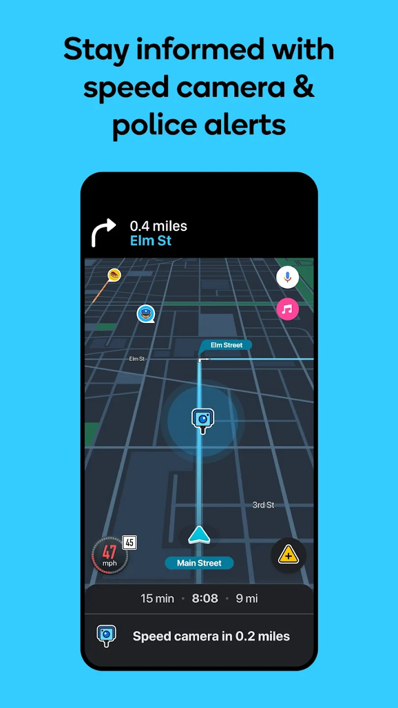
- Discover Nearby Points of Interest (POIs): Easily find restaurants, gas stations, gas prices, speed cameras, ATMs, hotels, and more directly on your route. This integrated discovery feature transforms navigation into a helpful tool for finding amenities quickly during your travels, making long drives or explorations much more convenient and enjoyable.
- Reporting Incidents: Users can report various situations, including accidents, hazards, roadworks, parking violations, and police radar, contributing to the collective knowledge base. While a core app mechanic for community involvement, this ensures the data loop is maintained, benefiting all users through shared, up-to-the-minute road information crucial for efficient and safe driving.
Pros & Cons
Pros:
- Comprehensive Real-time Traffic Data
- Engaging Community Reporting System
- Intuitive and Feature-rich Interface
- Reliable Voice Guidance
Cons:
- Demand for Cellular Data/Connectivity
- Potential for Map Data Inaccuracies in New Areas
- Community Reporting Relies on User Participation
- Premium Subscription May Be Needed for Full Feature Set (Offline Maps)
Similar Apps
| App Name | Highlights |
|---|---|
| Google Maps |
Offers comprehensive global mapping, turn-by-turn navigation, and extensive public transit information. Features machine learning-based route suggestions and integrates seamlessly with other Google services. |
| HERE We Go |
Provides detailed navigation with 3D visualizations and turn-by-turn guidance. Known for its focus on routing through toll roads with precise cost estimates and integration with parking solutions. |
| TomTom Navigation |
Specializes in high-quality offline maps and GPS accuracy, ideal for travelers needing detailed navigation without constant internet access. Offers premium features like offline maps and voice-guided navigation. |
Frequently Asked Questions
Q: How do I get Waze Navigation & Live Traffic on my phone?
A: You can download the Waze app for free from the App Store (iOS) or Google Play Store (Android) by searching for “Waze”. Installation is straightforward and quick once you’ve located it.
Q: Do I need an internet connection to use Waze Navigation & Live Traffic?
A: An initial connection is needed to load map data and sign in. While you can use basic navigation offline, real-time traffic updates, reporting features, and map refreshes require an active internet or mobile data connection.
Q: How accurate is Waze Navigation & Live Traffic compared to other apps?
A: Waze is highly competitive in navigation accuracy due to its detailed map data and frequent updates based on community reports. However, accuracy can depend on factors like the density of active users in the area and the quality of the underlying map data.
Q: Can I drive with directions on the screen instead of voice guidance?
A: Yes, the app offers an augmented reality (AR) view overlaying directions onto your live camera feed, and you can also view a split-screen map alongside your forward-facing camera. However, it is strongly recommended to keep the screen out of your primary line of sight for safety reasons.
Q: What happens to my driving data reported through Waze Navigation & Live Traffic? Is it private?
A: Waze uses your location primarily for providing navigation and traffic updates, but you can opt-out of location sharing. Reports submitted via Waze (like accidents or hazards) are shared anonymously with nearby drivers to help them navigate better, while maintaining individual user privacy by not associating the report directly with a specific driver identity beyond the initial reporting moment.
Screenshots
 |
 |
 |
 |
Waze Navigation & Live Traffic App Download |
|
|---|---|
 |
 |
