
 |
|
| Rating: 3.7 | Downloads: 10,000+ |
| Category: Maps & Navigation | Offer by: Dave Register |
OpenCPN is a free, cross-platform electronic chart navigation system designed for sailors and boaters to plot courses, monitor vessel position, and access marine data on electronic charts. It provides a powerful open architecture for routing, waypoint management, and overlay information, making it an indispensable tool for marine navigation across various vessel types.
OpenCPN’s key strength lies in its extensive plugin ecosystem and support for numerous chart formats, offering highly customizable navigation experiences. Its portability across Windows, macOS, and Linux makes it particularly appealing to serious cruisers and recreational boaters needing reliable navigation software on the go.
App Features
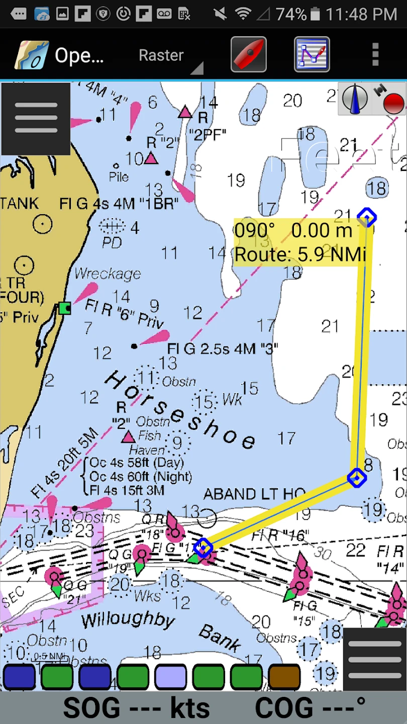
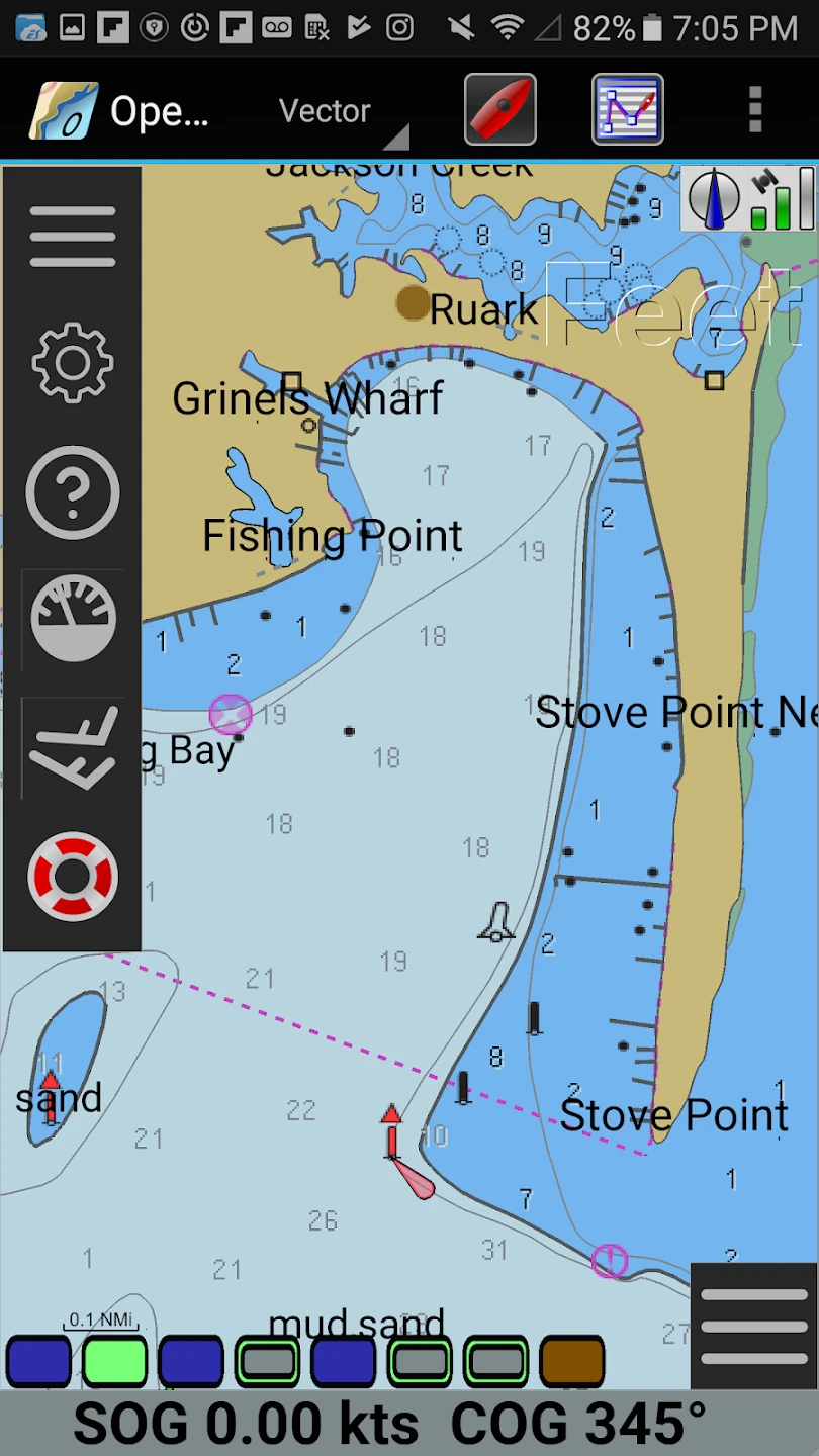
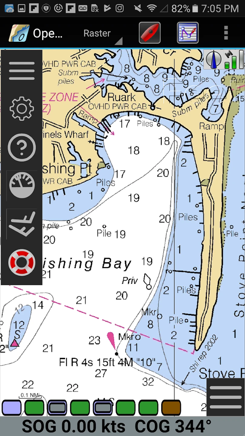
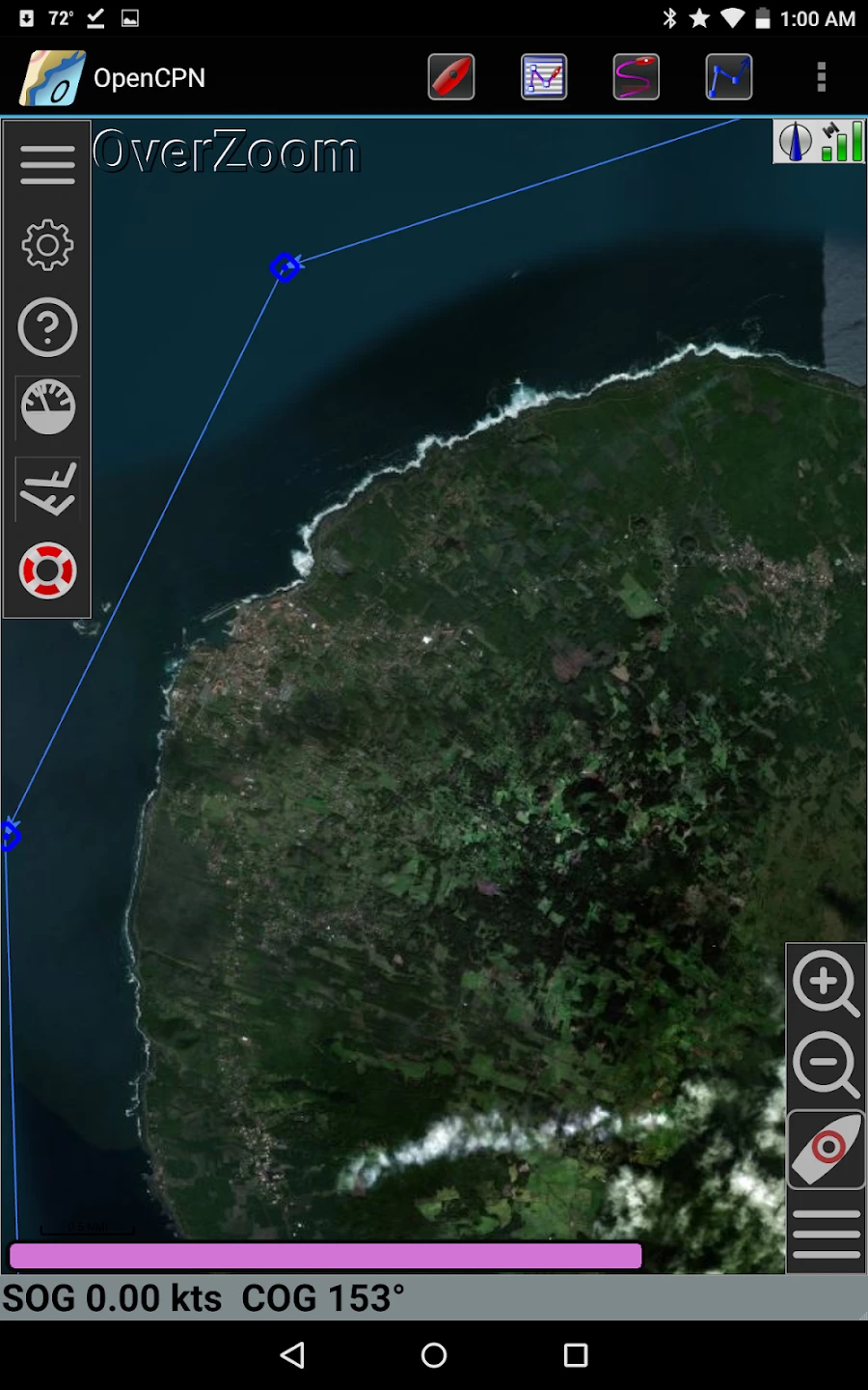
- Multi-format Chart Support: OpenCPN natively reads diverse chart formats like NOAA S-57, OpenCPN’s own .ocn format, and OpenStreetMap data, providing flexibility for users with various chart sources. This versatility eliminates the need for multiple specialized charting applications.
- Advanced Routing Engine: The integrated routing system calculates optimal paths considering water depth, preferred sailing angles, and custom-defined route segments, significantly improving safety during coastal navigation by suggesting appropriate turns and passages.
- Layer Management System: Users can overlay numerous data types—from weather overlays and tide predictions to fishing spots and AIS targets—enhancing situational awareness during voyages through customizable interface elements.
- Waypoint & Route Management: Create, edit, and manage waypoints and comprehensive routes featuring customizable arrival parameters and anchor watch capabilities, streamlining navigation tasks during extended cruising periods.
- Extensive Plugin Ecosystem: OpenCPN’s open architecture supports hundreds of community-developed plugins adding functionality like radar integration, weather routing, and specialized chart overlays tailored to specific boating interests.
- Real-time Data Monitoring: Continuously displays crucial navigational information including GPS position, COG, SOG, depth sounder data, and wind conditions directly on charts, allowing skippers to make informed decisions during maneuvers.
Pros & Cons
Pros:
- Free & Open Source
- Platform Flexibility
- Extensible Functionality
- Rich Chart Ecosystem
Cons:
- Plugin Installation Requires Some Technical Knowledge
- Interface May Require Customization
- Occasional Performance Issues with Complex Plugin Configurations
- Some Commercial Features Available Through Add-ons
Similar Apps
| App Name | Highlights |
|---|---|
| Navionics Platinum |
Premium charting app offering detailed coastal US charts with integrated GPS. Provides intuitive navigation interface for recreational boaters. |
| Marble Beach Charts |
Free chart application compatible with OpenCPN .ocn files and supports GPX tracks. Offers community-driven chart contributions. |
| X-Plane 11 |
Flight simulator with comprehensive maritime navigation modes. Useful for practicing OpenCPN route planning skills in a safe environment. |
Frequently Asked Questions
Q: Can OpenCPN use OpenStreetMap data for coastal navigation?
A: Yes, OpenCPN can utilize OpenStreetMap data via plugins, but note that OSM data isn’t suitable for offshore navigation due to limited marine-specific details and accuracy concerns. It works best with dedicated marine vector charts for coastal areas.
Q: Is OpenCPN compatible with my AIS transponder or GPS device?
A: Most modern GPS devices and AIS transponders are compatible through standard NMEA 0183 or NMEA 2000 interfaces. Verify your device supports one of the standard protocols for seamless integration.
Q: What’s the difference between OpenCPN and its commercial counterpart, Global Navigation Xpress (GNX)?
A: While sharing similar core technology, GNX adds subscription-based premium content, cloud integration, and enhanced real-time weather services at an additional cost beyond OpenCPN’s base functionality.
Q: Can I use OpenCPN for both inland and ocean navigation?
A: Absolutely. OpenCPN handles both scenarios effectively with appropriate chart layers. Inland boaters use topo maps and lake databases, while offshore sailors benefit from detailed coastal and ocean routing features.
Q: Are there tutorials available for learning OpenCPN?
A: Yes, numerous resources exist including official documentation, YouTube tutorials, and community forums. The OpenCPN website features beginner guides and advanced technique discussions to help users master its capabilities.
Screenshots
 |
 |
 |
 |
OpenCPN App Download |
|
|---|---|
 |
 |
