 |
|
| Rating: 4.6 | Downloads: 10,000,000+ |
| Category: Maps & Navigation | Offer by: Transit, Inc. |
The Transit • Subway & Bus Times app is a navigation tool designed for urban travelers seeking precise public transportation information. It provides real-time schedules, route maps, and estimated arrival times for buses and subways, making commuting easier for daily transit users and occasional visitors alike.
Its key advantage lies in consolidating information from multiple transit authorities into one intuitive interface, helping users navigate complex city systems efficiently. Transit • Subway & Bus Times saves time by offering accurate, up-to-date details, reducing the need to consult multiple sources or paper maps.
App Features
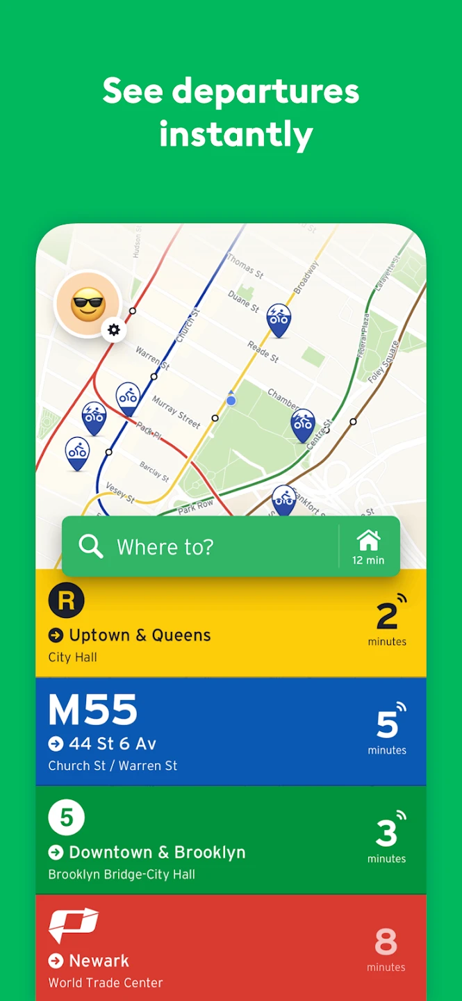
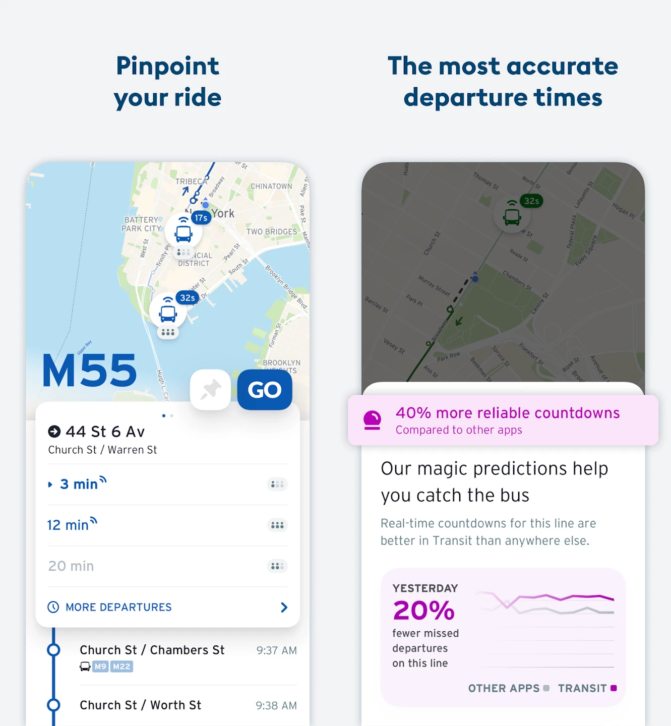
- Real-time arrivals and schedules: Get accurate predictions for your next bus or train, reducing wait times. The feature syncs live data, so you know exactly when your vehicle will arrive at your stop, making your journey planning precise and less frustrating.
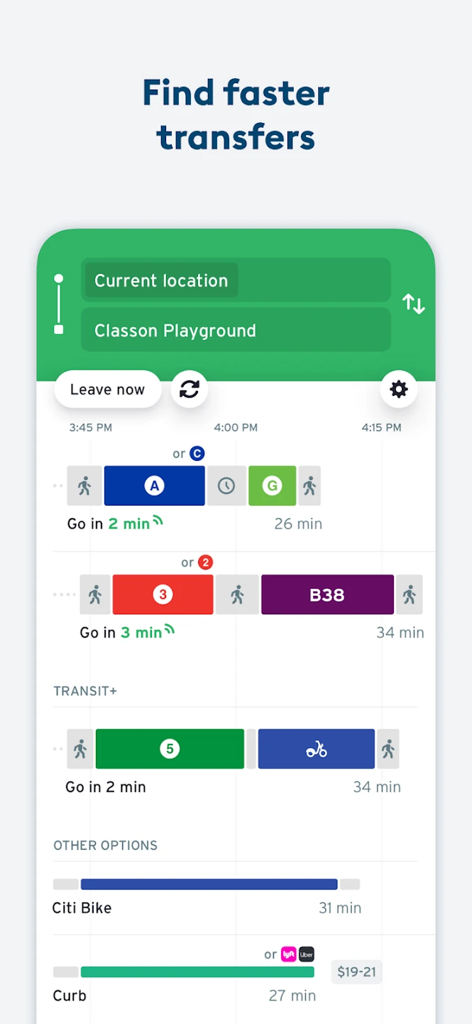
- Multi-modal route planning: Plan journeys combining buses, subways, walking, and biking using optimized routes. This intelligent integration accounts for transfer times and travel modes, significantly cutting down trip durations for complex commutes across different transport networks.
- Interactive maps and directions: View step-by-step directions with clear, color-coded route mapping. Easily navigate unfamiliar areas with detailed station layouts and transfer points highlighted, ensuring first-time users can confidently find their way without getting lost.
- Personal favorites and bookmarks: Save frequently used routes, stops, or stations for quick access on future trips. This personalized storage system saves valuable time, especially for daily commuters who need immediate access to their morning commute without searching each time.
- Offline map support: Download maps for specific areas to use the app even without cellular service. This crucial feature ensures reliable navigation during travel where connectivity may be unreliable, maintaining functionality in basements, tunnels, or underground transit systems.
- Accessibility features: Optional voice guidance, high-contrast modes, and text size adjustments support users with different abilities, making public transit information accessible to a wider audience regardless of visual acuity or hearing requirements.
Pros & Cons
Pros:
- Precise schedule information
- Multi-city compatibility
- Intuitive interface
- Offline capabilities
Cons:
- Occasional schedule sync delays
- Potential for interface complexity
- Regional data limitations
- Battery consumption with continuous tracking
Similar Apps
| App Name | Highlights |
|---|---|
| Citymapper |
Known for its comprehensive public transit options and personalized recommendations. Features real-time updates and integrates with multiple transport networks. |
| Google Maps Transit |
Offers detailed route planning with user reviews and transit safety information. Includes street maps alongside transit directions for better navigation context. |
| Transit App |
Focuses on reliable arrival predictions with minimal ads. Provides detailed trip comparisons including time, cost, and environmental impact. |
Frequently Asked Questions
Q: How does the app update schedules in real-time?
A: Our app syncs with transit authority APIs using automatic data polling, ensuring accurate arrival predictions even for unexpected delays or schedule changes throughout the day.
Q: Can I get route information for multiple cities simultaneously?
A: Absolutely! The app allows users to add various city transit systems, making it perfect for frequent travelers comparing schedules across different metropolitan areas without switching apps.
Q: Is the app free to use? Are there premium features?
A: The core functionality including schedules and basic routes is completely free. Premium options unlock advanced features like detailed accessibility information and unlimited offline mapping for entire countries.
Q: How accurate are the arrival predictions during busy commute hours? (e.g., rush hour)
A: During peak times, we maintain high accuracy by analyzing historical data patterns alongside real-time inputs, typically showing estimated arrivals within a minute or two of actual arrival during normal traffic conditions.
Q: What happens if a bus or train is significantly delayed according to the app?
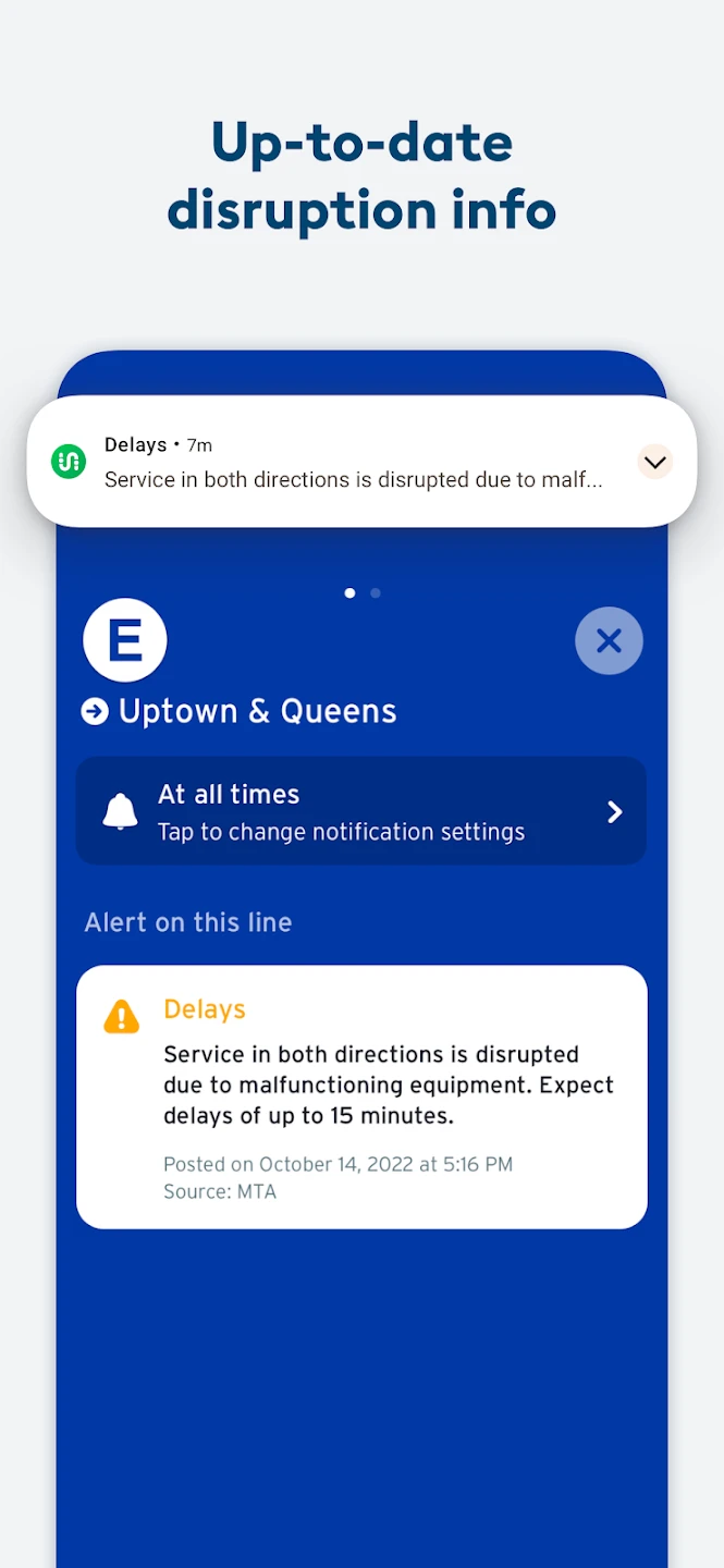
A: The app instantly updates arrival predictions based on reported transit incidents, automatically notifying users of significant changes to their planned journeys through push alerts.
Screenshots
 |
 |
 |
 |


